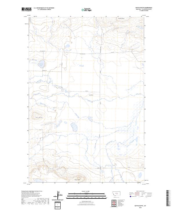
2024 Map of Battle Butte
USGS Topo · Published 2024About this map
Hailstone National Wildlife Refuge and Grass Lake National Wildlife Refuge dominate the northern and eastern portions of this Montana landscape. The terrain is defined by low-lying basins and prominent high points, including the namesake Battle Butte and the nearby Twin Buttes. The drainage patterns here are complex, with ephemeral waterways like Sixshooter Creek, Cedar Creek, and Gurney Creek cutting through the open country toward Lake Basin. This modern topographic study reveals a sparse human footprint, primarily organized around long-established section lines and rural connectors such as Molt Rapelje Rd and Flat Rd. The presence of small water bodies like Dallmann Lake and the various drainage basins like Hailstone Basin indicates a geography shaped by seasonal water movement and the preservation of habitat in Stillwater County.
Find a feature on this map
24 named features on this map. Tap any name to fly to it.
Don’t see what you’re looking for? This feature index may not catch every label — zoom into the map to look around manually.
Map Details
Editions of this 2024 Battle Butte Map
This is the sole edition of this map. No revisions or reprints were ever made.
Other maps of this area

1889 · Big Snowy Mountain
USGS Topo · 1:250,000

1892 · Stillwater
USGS Topo · 1:125,000

1893 · Big Snowy Mountain
USGS Topo · 1:250,000

1954 · Billings
USGS Topo · 1:250,000

1954 · Roundup
USGS Topo · 1:250,000

1956 · Rapelje
USGS Topo · 1:24,000

1956 · Hunter Lake
USGS Topo · 1:24,000

1956 · Battle Butte
USGS Topo · 1:24,000

1956 · Wheat Basin
USGS Topo · 1:24,000

1956 · Lindemulder Hill
USGS Topo · 1:24,000