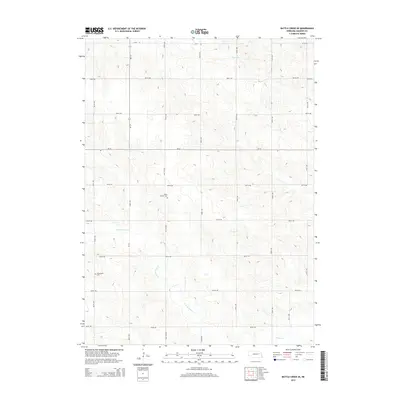
2014 Map of Battle Creek SE
USGS Topo · Published 2014About this map
The rolling agricultural landscape of southeastern Madison County is defined by a series of north-south drainage patterns and a strictly organized section-line road network. The winding courses of Taylor Cr and the N Fork Union Cr break the geometric precision of the fields, eventually feeding into Union Cr in the southern portion of the quadrangle. This 2014 survey documents the persistence of small-scale rural heritage through the presence of established burial grounds. Researchers will find the Green Garden Cem situated centrally along NE-71F-Spur, while the Kalamazoo Cem is located further west, just south of 825th Rd. Transport is facilitated by state routes including Ne-121 and Ne-32, which intersect this sparsely settled farming region, connecting local homesteads to the wider county infrastructure.
Find a feature on this map
25 named features on this map. Tap any name to fly to it.
Don’t see what you’re looking for? This feature index may not catch every label — zoom into the map to look around manually.
Map Details
Editions of this 2014 Battle Creek SE Map
This is the sole edition of this map. No revisions or reprints were ever made.
Other maps of this area

1955 · Fremont
USGS Topo · 1:250,000

1957 · Fremont
USGS Topo · 1:250,000

1958 · Fremont
USGS Topo · 1:250,000

1963 · Madison
USGS Topo · 1:24,000

1963 · Battle Creek
USGS Topo · 1:24,000

1963 · Emerick
USGS Topo · 1:24,000
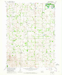
1963 · Enola
USGS Topo · 1:24,000

1963 · Battle Creek SE
USGS Topo · 1:24,000

1963 · Battle Creek SW
USGS Topo · 1:24,000
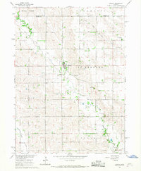
1966 · Lindsay
USGS Topo · 1:24,000