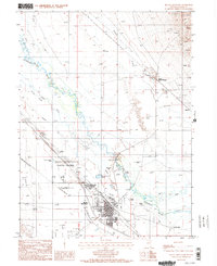
1985 Map of Battle Mountain
USGS Topo · Published 1986About this map
The Humboldt River and its meandering tributaries dominate this landscape during the mid-1980s, where the Reese River and Rock Creek converge in a complex network of sloughs and levees. The town of Battle Mountain serves as the central hub, notably featuring the Battle Mountain Indian Colony and several civic landmarks including the Battle Mountain Cem and a nearby Substation. This area preserves a significant corridor of western migration history, with the path of the Old California Trail cutting across the valley floor north of the primary settlement.
Find a feature on this map
25 named features on this map. Tap any name to fly to it.
Don’t see what you’re looking for? This feature index may not catch every label — zoom into the map to look around manually.
Map Details
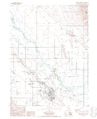
Editions of this 1985 Battle Mountain Map
2 editions found
Other maps of this area

1932 · Sonoma Range
USGS Topo · 1:250,000

1939 · Sonoma Range
USGS Topo · 1:250,000

1940 · Antler Peak
USGS Topo · 1:62,500

1943 · Antler Peak
USGS Topo · 1:62,500

1955 · Winnemucca
USGS Topo · 1:250,000

1957 · Battle Mountain
USGS Topo · 1:62,500

1958 · Winnemucca
USGS Topo · 1:250,000

1962 · Winnemucca
USGS Topo · 1:250,000

1965 · Russells
USGS Topo · 1:24,000
1965 · Izzenhood Spring
USGS Topo · 1:24,000