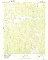
1979 Map of Battle Rock
USGS Topo · Published 1979About this map
The Ute Mountain Indian Reservation dominates the southern half of this landscape, where the terrain rises toward the prominent peaks of Sleeping Ute Mountain and Ute Peak. This late-1970s survey captures a rural environment defined by deep canyons and high mesas, where the life of the community is centered along McElmo Creek. Near the creek, several landmarks suggest a quiet but established local infrastructure, including the Battle Rock Sch and the Lamb Cem.
Find a feature on this map
37 named features on this map. Tap any name to fly to it.
Don’t see what you’re looking for? This feature index may not catch every label — zoom into the map to look around manually.
Map Details
Editions of this 1979 Battle Rock Map
2 editions found
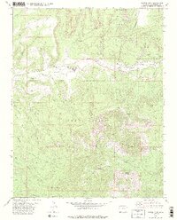
Other maps of this area

1956 · Cortez
USGS Topo · 1:250,000

1957 · Moqui NW
USGS Topo · 1:24,000

1957 · Moqui SW
USGS Topo · 1:24,000

1957 · Moqui SE
USGS Topo · 1:24,000

1958 · Sentinel Peak NW
USGS Topo · 1:24,000

1958 · Cortez SW
USGS Topo · 1:24,000

1958 · Sentinel Peak NE
USGS Topo · 1:24,000

1958 · Cortez
USGS Topo · 1:250,000

1959 · Cortez
USGS Topo · 1:250,000

1962 · Cortez
USGS Topo · 1:250,000