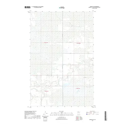
2019 Map of Baudette SE
USGS Topo · Published 2019About this map
Monroe is the central reference point in this corner of Lake of the Woods County, where the northern wetlands of Minnesota meet a winding hydrological network. The Rapid River and its tributary, the N Br Rapid River, carve through the terrain, joined by the smaller Bartons Brook to the southeast. This 2019 survey shows a landscape defined by expansive peatlands and bogs, characteristic of the northern border country. The human imprint is largely constrained to a grid of rural routes, including Co Hwy 16 and Co Rd 110, which provide access through the dense wetland vegetation. The layout of these roads and the township boundaries, such as t159n r31w and t158n r30w, reflect the systematic partitioning of this remote wilderness, where drainage patterns and water levels dictate the placement of every mile of gravel and pavement.
Find a feature on this map
21 named features on this map. Tap any name to fly to it.
Don’t see what you’re looking for? This feature index may not catch every label — zoom into the map to look around manually.
Map Details
Editions of this 2019 Baudette SE Map
This is the sole edition of this map. No revisions or reprints were ever made.
Other maps of this area

1919 · Knutson
USGS Topo · 1:62,500

1921 · Baudette
USGS Topo · 1:62,500

1954 · Roseau
USGS Topo · 1:250,000

1957 · Roseau
USGS Topo · 1:250,000

1958 · Roseau
USGS Topo · 1:250,000

1968 · Baudette SE
USGS Topo · 1:24,000

1968 · Clementson
USGS Topo · 1:24,000

1968 · Clementson SW
USGS Topo · 1:24,000
1968 · Baudette SW
USGS Topo · 1:24,000
1968 · Pitt
USGS Topo · 1:24,000