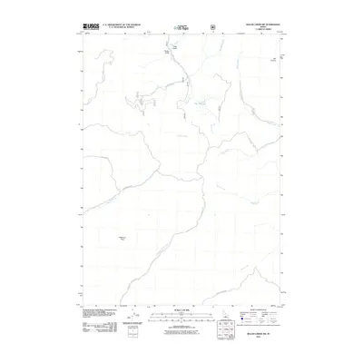
2011 Map of Baugh Creek SW
USGS Topo · Published 2011About this map
Patterson Peak anchors the southwest corner of this drainage-focused landscape, where numerous tributaries carve through the Idaho high country. The complex network of waterways includes the prominent Baugh Creek, which receives flow from Town Creek and Quigley Creek as it moves through the eastern portion of the quadrangle. A notable geographic constriction known as The Narrows is situated along Cove Creek, a point where the local topography tightens between the surrounding ridges.
Find a feature on this map
22 named features on this map. Tap any name to fly to it.
Don’t see what you’re looking for? This feature index may not catch every label — zoom into the map to look around manually.
Map Details
Editions of this 2011 Baugh Creek SW Map
This is the sole edition of this map. No revisions or reprints were ever made.
Other maps of this area

1895 · Hailey
USGS Topo · 1:125,000

1897 · Hailey
USGS Topo · 1:125,000

1955 · Hailey
USGS Topo · 1:250,000

1957 · Bellevue
USGS Topo · 1:62,500

1957 · Bellevue
USGS Topo · 1:24,000

1959 · Hailey
USGS Topo · 1:250,000

1962 · Hailey
USGS Topo · 1:250,000

1967 · Baugh Creek SW
USGS Topo · 1:24,000

1967 · Baugh Creek
USGS Topo · 1:24,000

1967 · Sun Valley
USGS Topo · 1:24,000