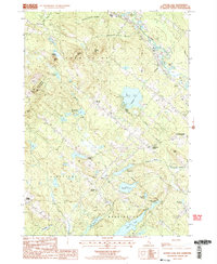
1987 Map of Baxter Lake
USGS Topo · Published 1987About this map
Blue Job Mtn State Forest dominates the western highland, providing a prominent lookout over the wooded ridges and numerous ponds that define the borderlands of Strafford and Farmington. This late-1980s landscape is characterized by a network of scattered rural junctions, such as Center Strafford, Strafford Corner, and Merrill Corners, connected by winding roads through hilly terrain. The map captures an era when the local economy and topography were heavily influenced by water management and glacial geology, evidenced by the Rochester Reservoir and several prominent sand and gravel pits.
Find a feature on this map
42 named features on this map. Tap any name to fly to it.
Don’t see what you’re looking for? This feature index may not catch every label — zoom into the map to look around manually.
Map Details
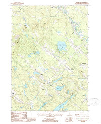
Editions of this 1987 Baxter Lake Map
2 editions found
Other maps of this area

1891 · Berwick
USGS Topo · 1:62,500

1893 · Dover
USGS Topo · 1:62,500

1893 · Berwick
USGS Topo · 1:62,500

1916 · Dover
USGS Topo · 1:62,500

1917 · Mt. Pawtuckaway
USGS Topo · 1:62,500

1918 · Dover
USGS Topo · 1:62,500

1919 · Mt. Pawtuckaway
USGS Topo · 1:62,500

1919 · Alton
USGS Topo · 1:62,500

1933 · Berwick
USGS Topo · 1:48,000

1937 · Berwick
USGS Topo · 1:62,500