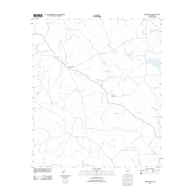
2012 Map of Baxterville
USGS Topo · Published 2012About this map
Baxterville and the neighboring community of Fanning anchor this rural landscape in southwestern Lamar County, defined by a dense network of creek branches and wetlands. The drainage patterns of Wolf Cr and Little Black Cr dominate the terrain, interspersed with distinct marshy areas like Burnt Reed Brake and Cowpen Reed Brake. These features indicate the low-lying, water-heavy geography typical of the Pine Belt's river systems.
Find a feature on this map
70 named features on this map. Tap any name to fly to it.
Don’t see what you’re looking for? This feature index may not catch every label — zoom into the map to look around manually.
Map Details
Editions of this 2012 Baxterville Map
This is the sole edition of this map. No revisions or reprints were ever made.
Other maps of this area

1953 · Hattiesburg
USGS Topo · 1:250,000

1953 · Mobile
USGS Topo · 1:250,000

1957 · Mobile
USGS Topo · 1:250,000

1958 · Hattiesburg
USGS Topo · 1:250,000

1958 · Carnes
USGS Topo · 1:62,500

1959 · Poplarville
USGS Topo · 1:62,500

1960 · Mobile
USGS Topo · 1:250,000

1963 · Mobile
USGS Topo · 1:250,000

1964 · Purvis
USGS Topo · 1:24,000

1964 · Lumberton
USGS Topo · 1:24,000