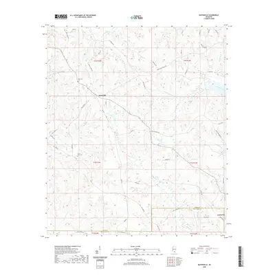
2020 Map of Baxterville
USGS Topo · Published 2020About this map
Baxterville sits at the heart of this Southern Mississippi landscape, where the headwaters of numerous creeks and brakes define the local topography. This 2020 map illustrates the enduring rural character of the borderlands between Lamar and Pearl River counties. A notable geological marker is found in the name of Tatum Salt Dome Rd northwest of town, referencing the underground salt dome that played a unique role in 20th-century history. The area is heavily intersected by named water systems like Little Black Creek and W Houloochitto Cr, alongside swampy features such as Burni Reed Brake and Cowpen Reed Brake. Local history and genealogy are anchored by the Baxterville Cem and Myrtle Grove Cem, while the southern boundary reaches the edge of Lumberton, reflecting the timber-rooted economy that shaped these communities.
Find a feature on this map
65 named features on this map. Tap any name to fly to it.
Don’t see what you’re looking for? This feature index may not catch every label — zoom into the map to look around manually.
Map Details
Editions of this 2020 Baxterville Map
This is the sole edition of this map. No revisions or reprints were ever made.
Other maps of this area

1953 · Hattiesburg
USGS Topo · 1:250,000

1953 · Mobile
USGS Topo · 1:250,000

1957 · Mobile
USGS Topo · 1:250,000

1958 · Hattiesburg
USGS Topo · 1:250,000

1958 · Carnes
USGS Topo · 1:62,500

1959 · Poplarville
USGS Topo · 1:62,500

1960 · Mobile
USGS Topo · 1:250,000

1963 · Mobile
USGS Topo · 1:250,000

1964 · Purvis
USGS Topo · 1:24,000

1964 · Lumberton
USGS Topo · 1:24,000