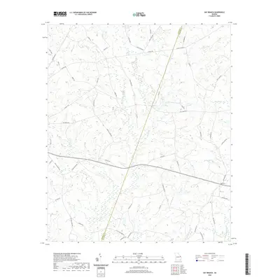
2020 Map of Bay Branch
USGS Topo · Published 2020About this map
Bay Branch anchors this corner of the Georgia coastal plain, where the drainage of the Ogeechee Cr and S Fork Ogeechee Cr defines the landscape. The map shows a complex network of wetlands and named waterways, including Braggas Mill Cr and Falling Water Br, which suggest the historic reliance on local creek systems for power and transport. Several localized reservoirs such as Pierce Pond, Middle Pond, and Pryor Pond are scattered across the terrain, indicating managed water resources for agriculture or local industry.
Find a feature on this map
58 named features on this map. Tap any name to fly to it.
Don’t see what you’re looking for? This feature index may not catch every label — zoom into the map to look around manually.
Map Details
Editions of this 2020 Bay Branch Map
This is the sole edition of this map. No revisions or reprints were ever made.
Other maps of this area

1918 · Oliver
USGS Topo · 1:62,500

1920 · Hilltonia
USGS Topo · 1:62,500

1920 · Millen
USGS Topo · 1:62,500

1920 · Oliver
USGS Topo · 1:62,500

1921 · Rocky Ford
USGS Topo · 1:62,500

1943 · Hilltonia
USGS Topo · 1:62,500

1943 · Rocky Ford
USGS Topo · 1:62,500

1943 · Millen
USGS Topo · 1:62,500

1943 · Millen
USGS Topo · 1:125,000

1943 · Oliver
USGS Topo · 1:62,500