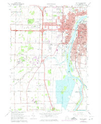
1967 Map of Bay City
USGS Topo · Published 1974About this map
The Saginaw River serves as the industrial and geographic spine of this mid-1960s study, dividing the dense urban grid of Bay City from the developing townships of Monitor and Bangor. The map illustrates a city deeply invested in its riverfront, showing the complex harbor area near Middle Ground and Skull Island, alongside numerous civic institutions. Parochial education is particularly well-represented through dozens of local landmarks like Holy Rosary Academy, St Stanislaus Sch, and St James Sch.
Find a feature on this map
107 named features on this map. Tap any name to fly to it.
Don’t see what you’re looking for? This feature index may not catch every label — zoom into the map to look around manually.
Map Details
Editions of this 1967 Bay City Map
2 editions found
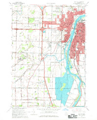
Other maps of this area

1916 · Bay City
USGS Topo · 1:62,500

1917 · St. Charles
USGS Topo · 1:62,500

1919 · Bay City
USGS Topo · 1:62,500

1919 · Saginaw
USGS Topo · 1:62,500

1941 · Saginaw
USGS Topo · 1:62,500

1943 · Bay City
USGS Topo · 1:62,500

1943 · Saginaw
USGS Topo · 1:62,500

1943 · St. Charles
USGS Topo · 1:62,500

1954 · Midland
USGS Topo · 1:250,000

1954 · Flint
USGS Topo · 1:250,000
Featured Places
- Bay City, MI
- Kochville, MI
- Buena Vista Charter Township, MI
- Frankenlust Township, MI
- Kochville Township, MI