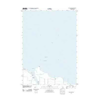
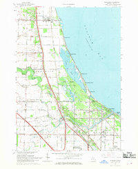
2011 Map of Bay City NE
USGS Topo · Published 2011About this map
The Saginaw River delta and the southern reaches of Saginaw Bay define this coastal survey of the Michigan shoreline. The landscape is a complex of wetlands, industrial maritime infrastructure, and seasonal communities along Lake Huron. The mouth of the river is a primary focal point, hosting the Saginaw River Rear Range Lighthouse and industrial sites like the Consumers Power Company and Gidley Boat Works. These features underscore the region's long history as a hub for both commercial shipping and power generation.
Find a feature on this map
23 named features on this map. Tap any name to fly to it.
Don’t see what you’re looking for? This feature index may not catch every label — zoom into the map to look around manually.
Map Details
Editions of this 2011 Bay City NE Map
This is the sole edition of this map. No revisions or reprints were ever made.
Other maps of this area

1916 · Bay City
USGS Topo · 1:62,500

1919 · Bay City
USGS Topo · 1:62,500

1943 · Bay City
USGS Topo · 1:62,500

1954 · Flint
USGS Topo · 1:250,000

1958 · Flint
USGS Topo · 1:250,000

1963 · Quanicassee
USGS Topo · 1:24,000
1967 · Essexville
USGS Topo · 1:24,000
1967 · Bay City NE
USGS Topo · 1:24,000
1967 · Pinconning
USGS Topo · 1:24,000
1967 · Kawkawlin
USGS Topo · 1:24,000