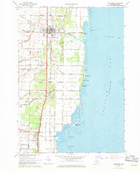
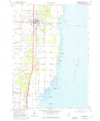
1967 Map of Pinconning
USGS Topo · Published 1969About this map
Pinconning serves as the focal point of this coastal survey, where the Penn Central Railroad and the Detroit and Mackinac Railroad converge to facilitate the region's transport and industry. The settlement's proximity to the shallow waters of Saginaw Bay is reflected in the numerous shoreline developments such as Almeda Beach and Nu-Crest Beach. The landscape is characterized by a complex network of man-made waterways, including Walk Drain and Fanger Drain, which underscore the historical efforts to manage the low-lying terrain for agricultural use. To the south, the preservation of the natural marshy ecosystem is evident in the Nayanquing Point Wildlife Area, which stretches toward Nayanquing Point. Local history is anchored by sites like St Michaels Cem and the St John Memorial Cem, marking the spiritual and communal centers of this Bay County community during the late 1960s.
Find a feature on this map
51 named features on this map. Tap any name to fly to it.
Don’t see what you’re looking for? This feature index may not catch every label — zoom into the map to look around manually.
Map Details
Editions of this 1967 Pinconning Map
2 editions found
Other maps of this area

1916 · Bay City
USGS Topo · 1:62,500

1919 · Bay City
USGS Topo · 1:62,500

1943 · Bay City
USGS Topo · 1:62,500

1954 · Midland
USGS Topo · 1:250,000

1954 · Flint
USGS Topo · 1:250,000

1958 · Flint
USGS Topo · 1:250,000

1958 · Midland
USGS Topo · 1:250,000

1959 · Midland
USGS Topo · 1:250,000

1962 · Willard
USGS Topo · 1:24,000

1966 · Midland
USGS Topo · 1:250,000