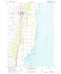
1967 Map of Pinconning
USGS Topo · Published 1974About this map
Pinconning serves as the focal point for this survey of the Bay County shoreline, where the Penn Central and Detroit and Mackinac railroads intersect. The landscape is defined by an intricate network of drainage systems such as Walk Drain and Michalski Drain, essential for managing the low-lying terrain along Saginaw Bay. To the south, the Nayanquing Point Wildlife Area preserves the marshes between Nayanquing Point and Mallard Point.
Find a feature on this map
54 named features on this map. Tap any name to fly to it.
Don’t see what you’re looking for? This feature index may not catch every label — zoom into the map to look around manually.
Map Details
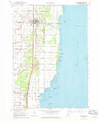
Editions of this 1967 Pinconning Map
2 editions found
Other maps of this area

1916 · Bay City
USGS Topo · 1:62,500

1919 · Bay City
USGS Topo · 1:62,500

1943 · Bay City
USGS Topo · 1:62,500

1954 · Midland
USGS Topo · 1:250,000

1954 · Flint
USGS Topo · 1:250,000

1958 · Flint
USGS Topo · 1:250,000

1958 · Midland
USGS Topo · 1:250,000

1959 · Midland
USGS Topo · 1:250,000

1962 · Willard
USGS Topo · 1:24,000

1966 · Midland
USGS Topo · 1:250,000