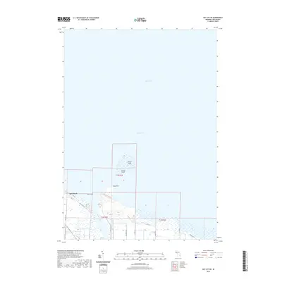
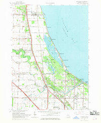
2019 Map of Bay City NE
USGS Topo · Published 2019About this map
Saginaw Bay defines the northern expanse of this coastal study, where the waters of Lake Huron meet the mouth of the Saginaw River. Along the shoreline, the community of Aplin Beach sits at the edge of a low-lying landscape crisscrossed by a grid of agricultural and residential roads, including N Finn Rd and N Jones Rd. This 2019 survey illustrates a transition between the industrial and utility footprints near Weadock Hwy and the preserved recreational paths of the Bay Co Riverwalk Trail. Within the bay, several prominent landforms such as Shelter Island, Channel Island, and Gull Island stand out. The mapping of Windy Point and the surrounding wetlands reveals the complex interface of the Michigan shoreline just before the turn of the decade.
Find a feature on this map
25 named features on this map. Tap any name to fly to it.
Don’t see what you’re looking for? This feature index may not catch every label — zoom into the map to look around manually.
Map Details
Editions of this 2019 Bay City NE Map
This is the sole edition of this map. No revisions or reprints were ever made.
Other maps of this area

1916 · Bay City
USGS Topo · 1:62,500

1919 · Bay City
USGS Topo · 1:62,500

1943 · Bay City
USGS Topo · 1:62,500

1954 · Flint
USGS Topo · 1:250,000

1958 · Flint
USGS Topo · 1:250,000

1963 · Quanicassee
USGS Topo · 1:24,000
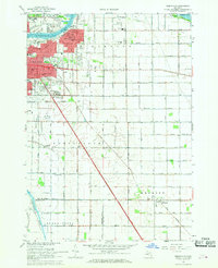
1967 · Essexville
USGS Topo · 1:24,000
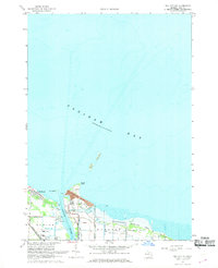
1967 · Bay City NE
USGS Topo · 1:24,000
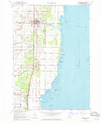
1967 · Pinconning
USGS Topo · 1:24,000
1967 · Kawkawlin
USGS Topo · 1:24,000