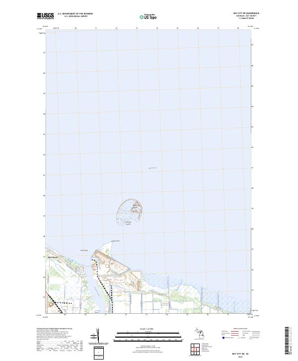
2023 Map of Bay City NE
USGS Topo · Published 2023About this map
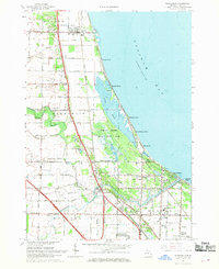
The mouth of the Saginaw River opens into the vast expanse of Saginaw Bay in this recent look at the shoreline northeast of Bay City. The landscape is defined by its low-lying marshes and the cluster of landforms at the river's entry, including Windy Point and several named islands such as Shelter Island, Channel Island, and Gull Island. This area serves as a primary interface between industrial infrastructure and coastal recreation, where the Weadock Hwy corridor meets the wetlands. The residential pocket of Aplin Beach sits along the western bank, connected by local routes like Shady Shore Rd and Patterson Rd. For those tracing local development or public access, the Bay County Riverwalk Trl is clearly delineated as it winds through the riverside environment.
Find a feature on this map
24 named features on this map. Tap any name to fly to it.
Don’t see what you’re looking for? This feature index may not catch every label — zoom into the map to look around manually.
Map Details
Editions of this 2023 Bay City NE Map
This is the sole edition of this map. No revisions or reprints were ever made.
Other maps of this area

1916 · Bay City
USGS Topo · 1:62,500

1919 · Bay City
USGS Topo · 1:62,500

1943 · Bay City
USGS Topo · 1:62,500

1954 · Flint
USGS Topo · 1:250,000

1958 · Flint
USGS Topo · 1:250,000

1963 · Quanicassee
USGS Topo · 1:24,000
1967 · Essexville
USGS Topo · 1:24,000
1967 · Bay City NE
USGS Topo · 1:24,000
1967 · Pinconning
USGS Topo · 1:24,000
1967 · Kawkawlin
USGS Topo · 1:24,000