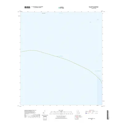
2018 Map of Bay Coquette
USGS Topo · Published 2018About this map
Pelican Island and the intricate coastal transition of Plaquemines Parish are shown in this 2018 coastal study. The landscape is defined almost entirely by the tidal interaction of the Gulf of Mexico with the low-lying marshlands of southern Louisiana. Waterways such as Scofield Bayou and Bayou Trouve carve through the shifting landforms, while Bay Coquette sits at the edge of the open sea. This map captures a highly dynamic environment where the distinction between land and water is fluid, providing a precise spatial record of the barrier islands and interior bayous before further coastal erosion or sediment shifts. The absence of roads or permanent structures underscores the isolation and environmental sensitivity of this deltaic region.
Find a feature on this map
5 named features on this map. Tap any name to fly to it.
Don’t see what you’re looking for? This feature index may not catch every label — zoom into the map to look around manually.
Map Details
Editions of this 2018 Bay Coquette Map
This is the sole edition of this map. No revisions or reprints were ever made.
Other maps of this area

1892 · Quarantine
USGS Topo · 1:62,500

1893 · Forts
USGS Topo · 1:62,500

1893 · West Delta
USGS Topo · 1:62,500

1935 · Bastian Bay
USGS Topo · 1:31,680

1941 · Empire
USGS Topo · 1:62,500

1944 · Empire
USGS Topo · 1:62,500

1946 · Pass Du Bois
USGS Topo · 1:31,680

1946 · Pass Tante Phine
USGS Topo · 1:31,680

1947 · Buras
USGS Topo · 1:31,680

1947 · Fort St. Philip
USGS Topo · 1:31,680