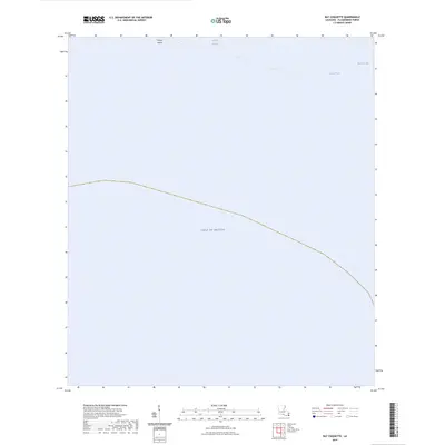
2024 Map of Bay Coquette
USGS Topo · Published 2024About this map
The coastal margins of Plaquemines Parish meet the open sea in this detailed look at the southern Louisiana littoral. Pelican Island serves as a critical barrier feature between the inland marsh systems and the vast Gulf of Mexico. The area is defined by its intricate hydrography, where narrow waterways like Scofield Bayou and Bayou Trouve weave through the low-lying terrain. This map captures the modern shoreline and water bodies such as Bay Coquette, documenting a landscape where the boundary between land and water is constantly shifting. The absence of roads or permanent settlements within this quadrangle emphasizes the specialized marine and wetland environment that characterizes this portion of the Mississippi River delta region.
Find a feature on this map
6 named features on this map. Tap any name to fly to it.
Don’t see what you’re looking for? This feature index may not catch every label — zoom into the map to look around manually.
Map Details
Editions of this 2024 Bay Coquette Map
This is the sole edition of this map. No revisions or reprints were ever made.
Other maps of this area

1892 · Quarantine
USGS Topo · 1:62,500

1893 · Forts
USGS Topo · 1:62,500

1893 · West Delta
USGS Topo · 1:62,500

1935 · Bastian Bay
USGS Topo · 1:31,680

1941 · Empire
USGS Topo · 1:62,500

1944 · Empire
USGS Topo · 1:62,500

1946 · Pass Du Bois
USGS Topo · 1:31,680

1946 · Pass Tante Phine
USGS Topo · 1:31,680

1947 · Buras
USGS Topo · 1:31,680

1947 · Fort St. Philip
USGS Topo · 1:31,680