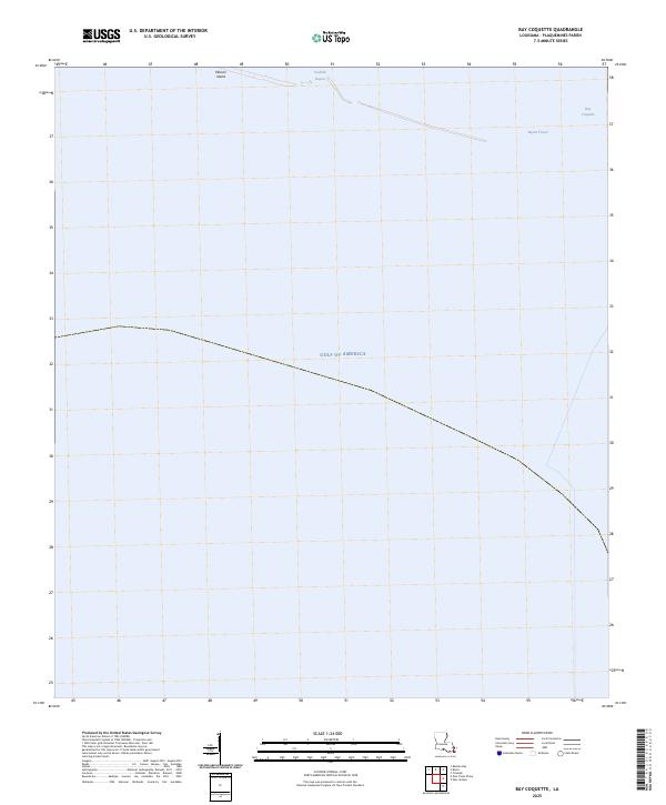
2025 Map of Bay Coquette
USGS Topo · Published 2025About this map
Pelican Island and the coastal marshes of Plaquemines Parish define this aquatic landscape at the edge of the Mississippi River delta. This survey documents the ephemeral nature of the Louisiana shoreline, where the shifting boundaries of Scofield Bayou and Bayou Trouve meet the expansive Gulf of America. The area is characterized by low-lying wetlands and shallow water bodies like Bay Coquette, reflecting a territory largely untouched by permanent infrastructure or road networks. For those studying the evolution of the Gulf Coast, this map provides a clear record of the modern hydrography and island formations that shield the interior bayous from the open sea.
Find a feature on this map
6 named features on this map. Tap any name to fly to it.
Don’t see what you’re looking for? This feature index may not catch every label — zoom into the map to look around manually.
Map Details
Editions of this 2025 Bay Coquette Map
This is the sole edition of this map. No revisions or reprints were ever made.
Other maps of this area

1892 · Quarantine
USGS Topo · 1:62,500

1893 · Forts
USGS Topo · 1:62,500

1893 · West Delta
USGS Topo · 1:62,500

1935 · Bastian Bay
USGS Topo · 1:31,680

1941 · Empire
USGS Topo · 1:62,500

1944 · Empire
USGS Topo · 1:62,500

1946 · Pass Du Bois
USGS Topo · 1:31,680

1946 · Pass Tante Phine
USGS Topo · 1:31,680

1947 · Buras
USGS Topo · 1:31,680

1947 · Fort St. Philip
USGS Topo · 1:31,680