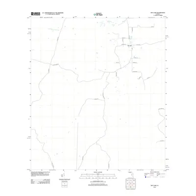
2012 Map of Bay Lake
USGS Topo · Published 2012About this map
The Little Withlacoochee River defines the northern reaches of this central Florida landscape, flowing through a region characterized by a network of specialized transportation routes. The settlement of Bay Lake serves as a central point for local commerce and residence, surrounded by a complex system of named rural lanes and agricultural access points. A distinctive pattern of land use is visible through the numerous graded and logging roads, including N Grade Rd, Center Grade Rd, and Logging Rd, which facilitate movement across the low-lying terrain. These roads, along with names like Berry Groves Rd and Prospect Ranch Rd, suggest a landscape historically tied to citrus production and forestry. Local family names and descriptors are preserved in thoroughfares such as Calvin Lee Rd and Tanic Grade Rd, providing a record of the community's geographic heritage.
Find a feature on this map
24 named features on this map. Tap any name to fly to it.
Don’t see what you’re looking for? This feature index may not catch every label — zoom into the map to look around manually.
Map Details
Editions of this 2012 Bay Lake Map
This is the sole edition of this map. No revisions or reprints were ever made.
Other maps of this area

1955 · Plant City
USGS Topo · 1:250,000

1955 · Orlando
USGS Topo · 1:250,000

1957 · Orlando
USGS Topo · 1:250,000

1958 · Orlando
USGS Topo · 1:250,000

1958 · Plant City
USGS Topo · 1:250,000

1958 · Webster
USGS Topo · 1:24,000

1959 · Plant City
USGS Topo · 1:250,000

1959 · Lake Nellie
USGS Topo · 1:24,000

1959 · Poyner
USGS Topo · 1:24,000

1960 · Branchborough
USGS Topo · 1:24,000