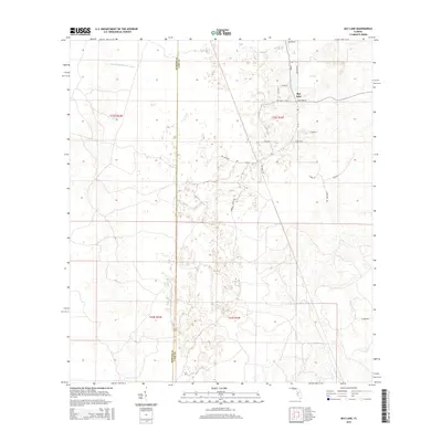
2015 Map of Bay Lake
USGS Topo · Published 2015About this map
Bay Lake serves as the focal point for this rural Florida landscape, where the waters of the Little Withlacoochee River define the northern terrain. The 2015 survey reveals a pattern of dispersed rural residential development and agricultural tracts, particularly around the lake and the CR-565 corridor. A network of local roads with evocative names like Prospect Ranch Rd and Bay Root Rd suggests the agrarian and ranching character of the region. The boundary between Sumter and Lake Counties bisects the area, illustrating how political lines often slice through uniform natural landscapes. This topographic study captures a moment in the modern evolution of central Florida, balancing legacy agricultural use with newer residential enclaves along Lake Erie Rd and Shady Ln.
Find a feature on this map
26 named features on this map. Tap any name to fly to it.
Don’t see what you’re looking for? This feature index may not catch every label — zoom into the map to look around manually.
Map Details
Editions of this 2015 Bay Lake Map
This is the sole edition of this map. No revisions or reprints were ever made.
Other maps of this area

1955 · Plant City
USGS Topo · 1:250,000

1955 · Orlando
USGS Topo · 1:250,000

1957 · Orlando
USGS Topo · 1:250,000

1958 · Orlando
USGS Topo · 1:250,000

1958 · Plant City
USGS Topo · 1:250,000

1958 · Webster
USGS Topo · 1:24,000

1959 · Plant City
USGS Topo · 1:250,000

1959 · Lake Nellie
USGS Topo · 1:24,000

1959 · Poyner
USGS Topo · 1:24,000

1960 · Branchborough
USGS Topo · 1:24,000