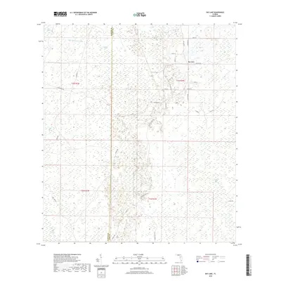
2018 Map of Bay Lake
USGS Topo · Published 2018About this map
Swamps and sloughs dominate this portion of the Florida landscape along the border of Sumter and Lake Counties. The Little Withlacoochee River meanders through the northwest, feeding into a complex network of wetlands that include Head Swamp, Bayroot Slough, and Gator Hole Slough. Human settlement is concentrated around the community of Bay Lake, where a network of residential lanes like Eden Ln and Lake Erie Rd skirt the shoreline.
Find a feature on this map
35 named features on this map. Tap any name to fly to it.
Don’t see what you’re looking for? This feature index may not catch every label — zoom into the map to look around manually.
Map Details
Editions of this 2018 Bay Lake Map
This is the sole edition of this map. No revisions or reprints were ever made.
Other maps of this area

1955 · Plant City
USGS Topo · 1:250,000

1955 · Orlando
USGS Topo · 1:250,000

1957 · Orlando
USGS Topo · 1:250,000

1958 · Orlando
USGS Topo · 1:250,000

1958 · Plant City
USGS Topo · 1:250,000

1958 · Webster
USGS Topo · 1:24,000

1959 · Plant City
USGS Topo · 1:250,000

1959 · Lake Nellie
USGS Topo · 1:24,000

1959 · Poyner
USGS Topo · 1:24,000

1960 · Branchborough
USGS Topo · 1:24,000