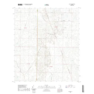
2021 Map of Bay Lake
USGS Topo · Published 2021About this map
Bay Lake serves as the primary focal point of this Central Florida landscape, situated within a vast wetland network along the boundary of Sumter Co and Lake Co. The settlement’s history is anchored by the Bay Lake Cem, while the surrounding terrain is defined by a complex mosaic of hydrologic features including the Little Withlacoochee River, Head Swamp, and the Bayroot Slough. This modern survey reveals a region managed for conservation and recreation, notably featuring the General James A Van Fleet State Trl and the Green Swamp Bicycle Trl. These paths follow linear corridors through otherwise difficult terrain like Loggy Pond Swamp and Devils Creek Swamp. Significant access is provided by a grid of named routes such as Center Grade Rd and Prospect Ranch Rd, illustrating the intersection of historic logging or ranching access with contemporary state-managed lands.
Find a feature on this map
40 named features on this map. Tap any name to fly to it.
Don’t see what you’re looking for? This feature index may not catch every label — zoom into the map to look around manually.
Map Details
Editions of this 2021 Bay Lake Map
This is the sole edition of this map. No revisions or reprints were ever made.
Other maps of this area

1955 · Plant City
USGS Topo · 1:250,000

1955 · Orlando
USGS Topo · 1:250,000

1957 · Orlando
USGS Topo · 1:250,000

1958 · Orlando
USGS Topo · 1:250,000

1958 · Plant City
USGS Topo · 1:250,000

1958 · Webster
USGS Topo · 1:24,000

1959 · Plant City
USGS Topo · 1:250,000

1959 · Lake Nellie
USGS Topo · 1:24,000

1959 · Poyner
USGS Topo · 1:24,000

1960 · Branchborough
USGS Topo · 1:24,000