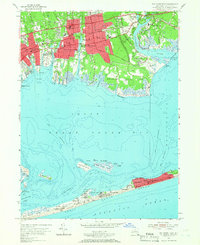
1955 Map of Bay Shore East
USGS Topo · Published 1957About this map
The northern shore of the Islip Great South Bay is defined by a dense network of suburban development and public institutions in the mid-1950s. Bay Shore and East Islip form the residential core, supported by several schools and the Southside Hospital. Notable social and religious landmarks of the era include the Montfort Seminary, the Brookwood Hall Orphanage, and St Patricks Cem. The Long Island Railroad and the Montauk Highway provide the primary east-west corridors through these communities.
Find a feature on this map
82 named features on this map. Tap any name to fly to it.
Don’t see what you’re looking for? This feature index may not catch every label — zoom into the map to look around manually.
Map Details
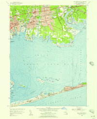
Editions of this 1955 Bay Shore East Map
2 editions found
Other maps of this area

1901 · Babylon
USGS Topo · 1:62,500

1901 · Northport
USGS Topo · 1:62,500

1902 · Setauket
USGS Topo · 1:62,500

1902 · Fire Island
USGS Topo · 1:62,500

1903 · Babylon
USGS Topo · 1:62,500

1903 · Northport
USGS Topo · 1:62,500

1903 · Fire Island
USGS Topo · 1:62,500

1904 · Setauket
USGS Topo · 1:62,500

1904 · Islip
USGS Topo · 1:125,000

1919 · Setauket
USGS Topo · 1:62,500