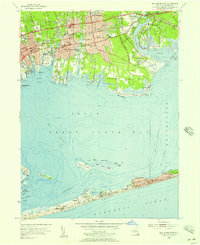
1955 Map of Bay Shore East
USGS Topo · Published 1966About this map
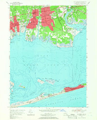
Bay Shore and its South Shore neighbors are presented in high mid-century detail, anchored by the busy Long Island Railroad corridor and the Sunrise Highway. The landscape is a mix of growing residential settlements like Islip Terrace and East Islip alongside significant institutional grounds, including the Montfort Seminary and Brookwood Hall Orphanage. To the south, the expansive Great South Bay separates the mainland from the slender barrier of Fire Island, where a chain of seasonal communities such as Ocean Beach, Saltaire, and Point o' Woods is clearly delineated. The map captures the specialized waterfront economy of the era, noting numerous boat channels, the U S Coast Guard Reservation, and the emerging recreation areas at Heckscher State Park and Fire Island State Park.
Find a feature on this map
78 named features on this map. Tap any name to fly to it.
Don’t see what you’re looking for? This feature index may not catch every label — zoom into the map to look around manually.
Map Details
Editions of this 1955 Bay Shore East Map
2 editions found
Other maps of this area

1901 · Babylon
USGS Topo · 1:62,500

1901 · Northport
USGS Topo · 1:62,500

1902 · Setauket
USGS Topo · 1:62,500

1902 · Fire Island
USGS Topo · 1:62,500

1903 · Babylon
USGS Topo · 1:62,500

1903 · Northport
USGS Topo · 1:62,500

1903 · Fire Island
USGS Topo · 1:62,500

1904 · Setauket
USGS Topo · 1:62,500

1904 · Islip
USGS Topo · 1:125,000

1919 · Setauket
USGS Topo · 1:62,500