
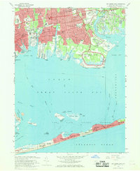
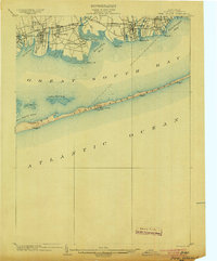
1967 Map of Bay Shore East
USGS Topo · Published 1979About this map
The coastal landscapes of Islip and Bay Shore define this coastal survey, which highlights the suburban growth of the late 1960s alongside the expansive wetlands and beaches of the Great South Bay. The map documents a dense network of local institutions, from Southside Hospital and the St Patricks Cem to the grounds of Adelphi Suffolk College. Along the northern shore, the Long Island Railroad and Sunrise Highway provide the primary transit corridors through East Islip, Islip Terrace, and Oakdale.
Find a feature on this map
84 named features on this map. Tap any name to fly to it.
Don’t see what you’re looking for? This feature index may not catch every label — zoom into the map to look around manually.
Map Details
Editions of this 1967 Bay Shore East Map
2 editions found
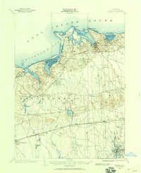
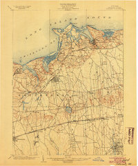
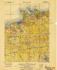
Other maps of this area

1901 · Babylon
USGS Topo · 1:62,500

1901 · Northport
USGS Topo · 1:62,500
1902 · Setauket
USGS Topo · 1:62,500
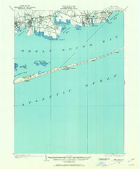
1902 · Fire Island
USGS Topo · 1:62,500
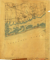
1903 · Babylon
USGS Topo · 1:62,500

1903 · Northport
USGS Topo · 1:62,500
1903 · Fire Island
USGS Topo · 1:62,500
1904 · Setauket
USGS Topo · 1:62,500

1904 · Islip
USGS Topo · 1:125,000
1919 · Setauket
USGS Topo · 1:62,500