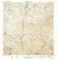
1946 Map of Bayaney
USGS Topo · Published 1946About this map
Bayaney serves as a central point of activity within this mid-century topographic survey, where the complex interior of Puerto Rico is defined by deep river valleys and high ridges. The landscape is marked by several educational landmarks, including Escuela Theodore Roosevelt and Escuela Segunda Unidad de Caguana, reflecting the established rural communities of the era. Settlement patterns follow the rugged topography, with clusters at Angeles and La Torre connected by winding roads that traverse multiple municipal boundaries.
Find a feature on this map
39 named features on this map. Tap any name to fly to it.
Don’t see what you’re looking for? This feature index may not catch every label — zoom into the map to look around manually.
Map Details
Editions of this 1946 Bayaney Map
4 editions found
Other maps of this area
1938 · Camuy
USGS Topo · 1:20,000
1938 · San Sebastian
USGS Topo · 1:20,000
1938 · Quebradillas
USGS Topo · 1:20,000
1941 · San Sebastian
USGS Topo · 1:30,000
1942 · Arecibo
USGS Topo · 1:30,000
1942 · Camuy
USGS Topo · 1:30,000
1946 · Maricao
USGS Topo · 1:30,000
1946 · Utuado
USGS Topo · 1:30,000
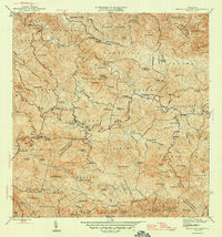
1946 · Monte Guilarte
USGS Topo · 1:30,000
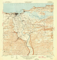
1946 · Arecibo
USGS Topo · 1:30,000
Featured Places
- Sector El Calvario, Utuado
- Parcelas Miria, Lares
- Sector Los Cuevas, Utuado
- Sector Las Cuarenta, Hatillo
- Sector Los Santiagos, Lares