1970 Map of Bayaney
USGS Topo · Published 1983About this map
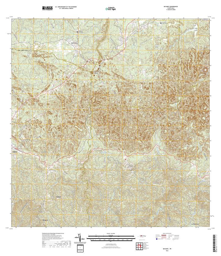
Bayaney and its surrounding barrios are depicted in this 1970 survey, revealing a landscape where mountainous terrain dictates the patterns of settlement and infrastructure. The map highlights significant regional education and religion through the Iglesia Cristo Rey and specialized schools like the Escuela Domingo Arana Marquez. The deep-cut paths of the Rio Camuy and Rio Tanama carve through the limestone karst, while the inclusion of the Observatorio de Arecibo signals the island's role in modern scientific advancement during this era.
Find a feature on this map
45 named features on this map. Tap any name to fly to it.
Don’t see what you’re looking for? This feature index may not catch every label — zoom into the map to look around manually.
Map Details
Editions of this 1970 Bayaney Map
3 editions found
Historical Maps of Sector El Calvario Through Time
10 maps found

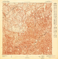
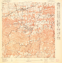
1946 Bayaney
Hatillo Municipio, PR
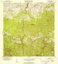
1947 Bayaney NE
Hatillo Municipio, PR
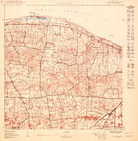
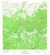
1950 Camuy NE
Hatillo Municipio, PR
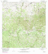
1950 Camuy SE
Hatillo Municipio, PR
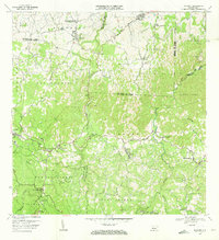
1952 Bayaney
Hatillo Municipio, PR
1957 Bayaney
Hatillo Municipio, PR
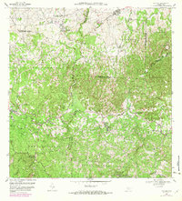
1970 Bayaney
Hatillo Municipio, PR
2013 Bayaney
Hatillo Municipio, PR
2018 Bayaney
Hatillo Municipio, PR
2024 Bayaney
Hatillo Municipio, PR
Featured Locations
- Sector Las Cuarenta, Hatillo
- Sector Los Santiagos, Lares
- Parcelas Miria, Lares
- Sector El Calvario, Utuado
- Sector Los Cuevas, Utuado