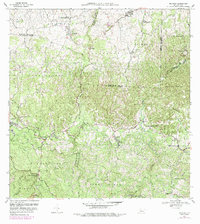
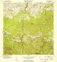
1970 Map of Bayaney
USGS Topo · Published 1989About this map
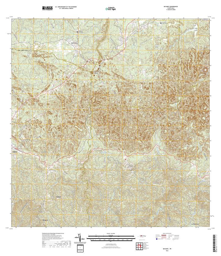
Parque Ceremonial Indígena Caguana and the world-renowned Observatorio de Arecibo anchor the cultural and scientific landscape of this central Puerto Rican region. The topography is defined by the deep incisions of the Río Camuy and Río Angeles, which carve through the limestone karst terrain near settlements like Bayaney and Angeles. The 1970 field check documents a rural network of insular routes, including 129 and 111, connecting small mountain communities and agricultural zones.
Find a feature on this map
63 named features on this map. Tap any name to fly to it.
Don’t see what you’re looking for? This feature index may not catch every label — zoom into the map to look around manually.
Map Details
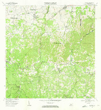
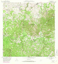
Editions of this 1970 Bayaney Map
3 editions found
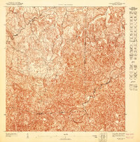
Historical Maps of Sector El Calvario Through Time
10 maps found

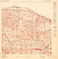
1946 Bayaney
Hatillo Municipio, PR
1947 Bayaney NE
Hatillo Municipio, PR
1950 Camuy NE
Hatillo Municipio, PR
1950 Camuy SE
Hatillo Municipio, PR
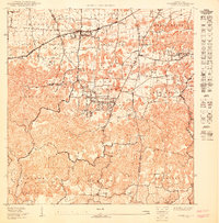
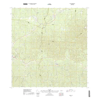
1952 Bayaney
Hatillo Municipio, PR
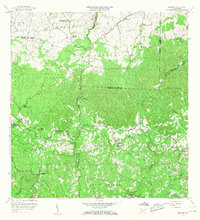
1957 Bayaney
Hatillo Municipio, PR
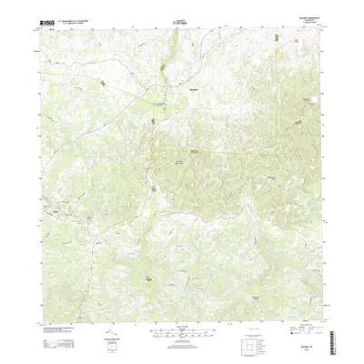
1970 Bayaney
Hatillo Municipio, PR
2013 Bayaney
Hatillo Municipio, PR
2018 Bayaney
Hatillo Municipio, PR
2024 Bayaney
Hatillo Municipio, PR
Featured Locations
- Sector Las Cuarenta, Hatillo
- Sector Los Santiagos, Lares
- Parcelas Miria, Lares
- Sector El Calvario, Utuado
- Sector Los Cuevas, Utuado