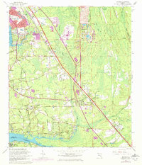
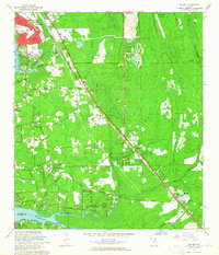
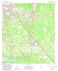
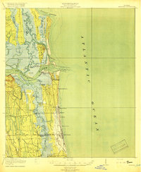
1964 Map of Bayard
USGS Topo · Published 1972About this map
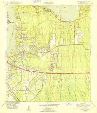
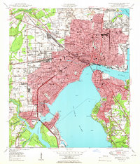
San Jose and the surrounding Duval County landscape are shown during a period of rapid suburban transition, where golf courses like the Beauclerc Country Club and Deerwood Club begin to carve into the wetlands of Big Island Swamp. The Florida East Coast Railroad serves as a primary spine through the territory, connecting older settlements like Sunbeam and Greenland with the southern reaches of Bayard. To the south, the confluence of Julington Creek and Durbin Creek marks the boundary with St. Johns County, anchored by the Wesley Manor Retirement Village.
Find a feature on this map
67 named features on this map. Tap any name to fly to it.
Don’t see what you’re looking for? This feature index may not catch every label — zoom into the map to look around manually.
Map Details
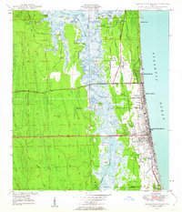
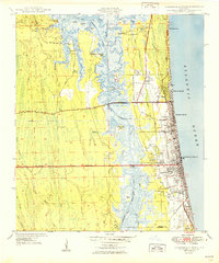
Editions of this 1964 Bayard Map
3 editions found
Other maps of this area

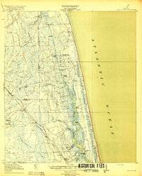
1917 · Orange Park
USGS Topo · 1:62,500

1918 · Jacksonville
USGS Topo · 1:62,500

1918 · Orange Park
USGS Topo · 1:62,500
1918 · Palm Valley
USGS Topo · 1:62,500
1918 · Mayport
USGS Topo · 1:62,500

1948 · Jacksonville
USGS Topo · 1:250,000
1948 · Jacksonville Beach
USGS Topo · 1:24,000
1949 · Jacksonville Beach
USGS Topo · 1:24,000
1950 · Arlington
USGS Topo · 1:24,000
1950 · Jacksonville
USGS Topo · 1:24,000
Featured Places
- Jacksonville, FL
- Greenland, Jacksonville
- San Jose, Jacksonville
- Bayard, Jacksonville
- Stockade, Jacksonville