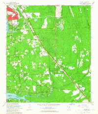
1964 Map of Bayard
USGS Topo · Published 1965About this map
The Florida East Coast Railway and U S Highway No 1 slice diagonally through this 1960s landscape, illustrating the rapid mid-century expansion of suburban Jacksonville toward the Duval and St. Johns County line. The established community of San Jose dominates the northwest, featuring the San Jose Country Club and South San Jose Sch. In contrast, the southern and eastern portions of the map remain dominated by extensive wetlands like Tiger Hole Swamp and Big Island Swamp. Significant institutional presence is visible at Wesley Manor Retirement Village near the banks of Julington Creek. Smaller rural nodes such as Loretto and Bayard serve as local centers, anchored by landmarks like St Josephs Academy and New Allen Chapel, providing a record of local social and educational infrastructure before the intensification of highway-driven development.
Find a feature on this map
57 named features on this map. Tap any name to fly to it.
Don’t see what you’re looking for? This feature index may not catch every label — zoom into the map to look around manually.
Map Details
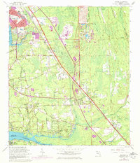
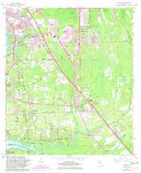
Editions of this 1964 Bayard Map
3 editions found
Other maps of this area

1917 · Orange Park
USGS Topo · 1:62,500

1918 · Jacksonville
USGS Topo · 1:62,500

1918 · Orange Park
USGS Topo · 1:62,500

1918 · Palm Valley
USGS Topo · 1:62,500

1918 · Mayport
USGS Topo · 1:62,500

1948 · Jacksonville
USGS Topo · 1:250,000

1948 · Jacksonville Beach
USGS Topo · 1:24,000

1949 · Jacksonville Beach
USGS Topo · 1:24,000

1950 · Arlington
USGS Topo · 1:24,000
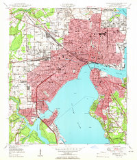
1950 · Jacksonville
USGS Topo · 1:24,000
Featured Places
- Jacksonville, FL
- Greenland, Jacksonville
- San Jose, Jacksonville
- Bayard, Jacksonville
- Stockade, Jacksonville