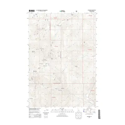
2013 Map of Bayhorse
USGS Topo · Published 2013About this map
Bayhorse is situated at the heart of this high-elevation landscape within the Challis National Forest, where steep drainages and prominent peaks define the geography. The settlement is positioned along Bayhorse Creek, surrounded by significant geological features including Ramshorn Mountain and Keystone Mountain. The drainage patterns of Bull of the Woods Gulch and Merrimac Gulch illustrate the complex vertical relief that once supported regional mining activities. To the south and east, the Salmon River carves through the terrain, joined by Birch Creek and Wood Creek. The network of forestry routes like Garden Creek Road and Bayhorse Creek Road provides access to remote reaches such as Juliette Basin and Daugherty Spring, mapping a territory where narrow gulches and high summits have historically dictated human movement and industry.
Find a feature on this map
34 named features on this map. Tap any name to fly to it.
Don’t see what you’re looking for? This feature index may not catch every label — zoom into the map to look around manually.
Map Details
Editions of this 2013 Bayhorse Map
This is the sole edition of this map. No revisions or reprints were ever made.
Other maps of this area

1929 · Bayhorse
USGS Topo · 1:125,000

1956 · Challis
USGS Topo · 1:62,500

1956 · Twin Peaks
USGS Topo · 1:62,500

1957 · Challis
USGS Topo · 1:250,000

1960 · Challis
USGS Topo · 1:250,000

1963 · Challis
USGS Topo · 1:250,000

1963 · Bald Mountain
USGS Topo · 1:24,000

1963 · Bayhorse Lake
USGS Topo · 1:24,000

1963 · Bayhorse
USGS Topo · 1:24,000

1963 · Clayton
USGS Topo · 1:24,000