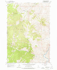
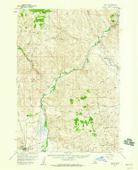
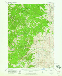
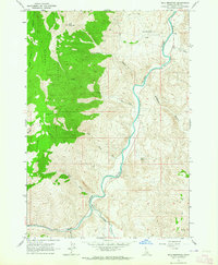
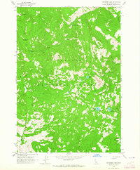
1963 Map of Bayhorse
USGS Topo · Published 1977About this map
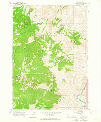
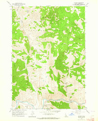
Bayhorse is the central hub of this high-altitude mining district within the Challis National Forest, where the landscape is defined by the steep drainages of Bayhorse Creek and the Salmon River. The settlement is closely tied to its industrial heritage, as evidenced by the nearby Coke Ovens and a network of high-elevation operations including the Keystone Mine and Ramshorn Mine. The terrain is characterized by dramatic peaks such as Ramshorn Mtn and Keystone Mtn, separated by deep ravines like Beardsley Gulch and Merrimac Gulch.
Find a feature on this map
35 named features on this map. Tap any name to fly to it.
Don’t see what you’re looking for? This feature index may not catch every label — zoom into the map to look around manually.
Map Details
Editions of this 1963 Bayhorse Map
2 editions found
Other maps of this area

1929 · Bayhorse
USGS Topo · 1:125,000
1956 · Challis
USGS Topo · 1:62,500
1956 · Twin Peaks
USGS Topo · 1:62,500

1957 · Challis
USGS Topo · 1:250,000

1960 · Challis
USGS Topo · 1:250,000

1963 · Challis
USGS Topo · 1:250,000
1963 · Bald Mountain
USGS Topo · 1:24,000
1963 · Bayhorse Lake
USGS Topo · 1:24,000
1963 · Bayhorse
USGS Topo · 1:24,000
1963 · Clayton
USGS Topo · 1:24,000