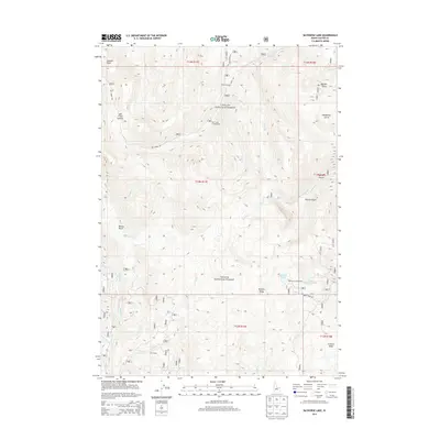
2013 Map of Bayhorse Lake
USGS Topo · Published 2013About this map
Bayhorse Lake and Little Bayhorse Lake serve as the central landmarks for this high-altitude landscape within the Challis National Forest. The geography is defined by a series of steep drainages and ridge lines, including Buffalo Ridge and the Juliette Basin, which feed into the wider Bayhorse Creek system. High points like Summit Rock and the Mill Creek Summit overlook a terrain marked by numerous named gulches and seasonal streams.
Find a feature on this map
38 named features on this map. Tap any name to fly to it.
Don’t see what you’re looking for? This feature index may not catch every label — zoom into the map to look around manually.
Map Details
Editions of this 2013 Bayhorse Lake Map
This is the sole edition of this map. No revisions or reprints were ever made.
Other maps of this area

1919 · Custer
USGS Topo · 1:125,000

1922 · Custer
USGS Topo · 1:125,000

1929 · Bayhorse
USGS Topo · 1:125,000

1930 · Casto
USGS Topo · 1:125,000

1956 · Twin Peaks
USGS Topo · 1:62,500

1957 · Challis
USGS Topo · 1:250,000

1960 · Challis
USGS Topo · 1:250,000

1963 · Challis
USGS Topo · 1:250,000

1963 · Challis Creek Lakes
USGS Topo · 1:24,000

1963 · Bald Mountain
USGS Topo · 1:24,000