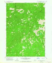
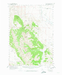
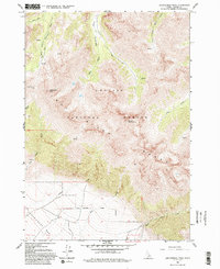
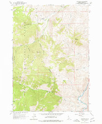
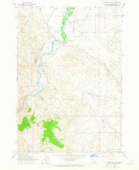
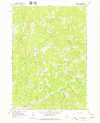
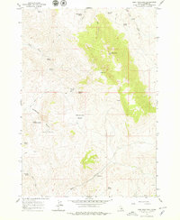
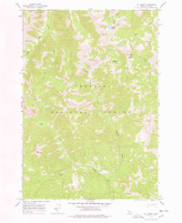
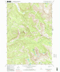
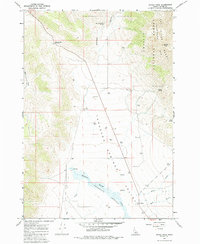
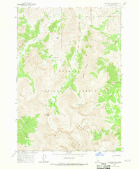
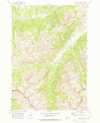
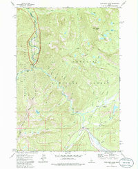
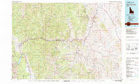
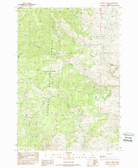
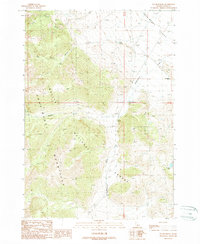
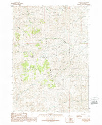
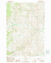
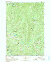
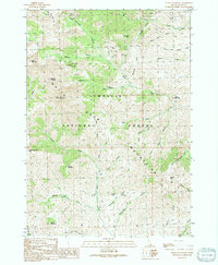
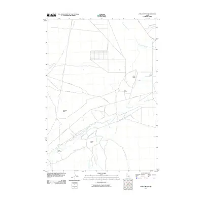
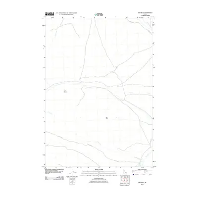
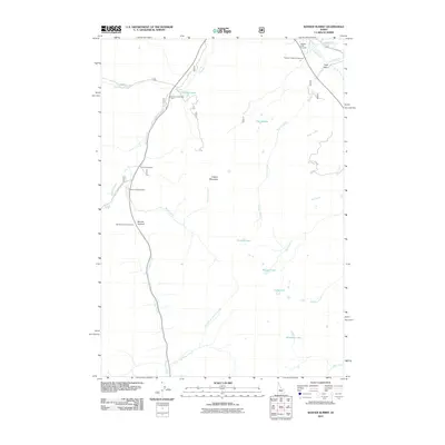
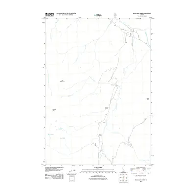
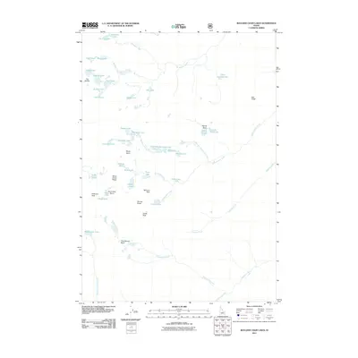
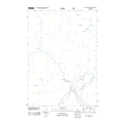
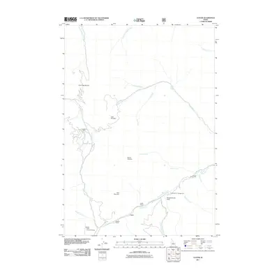
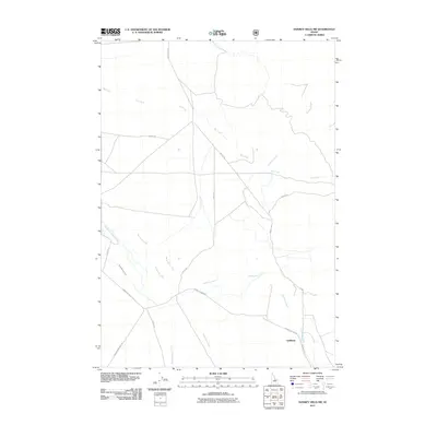
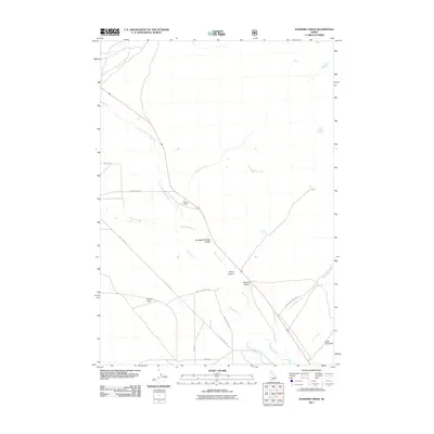
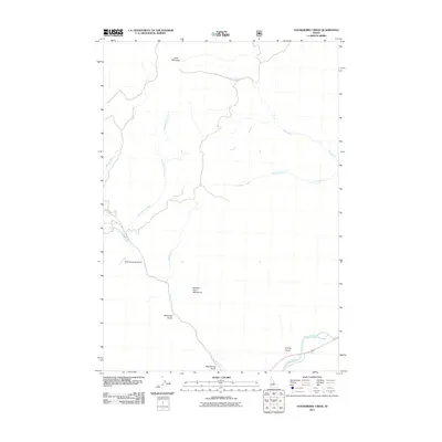
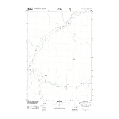
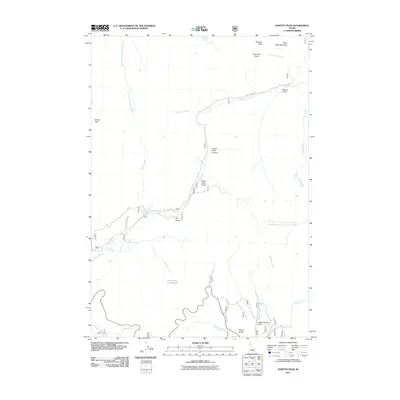
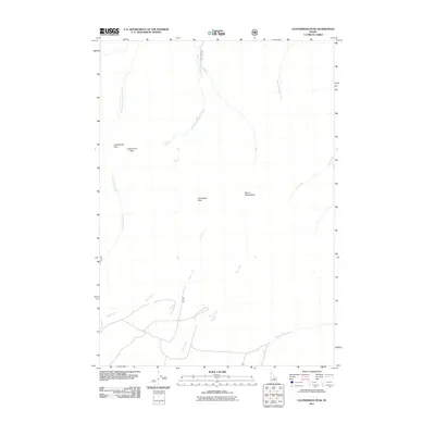
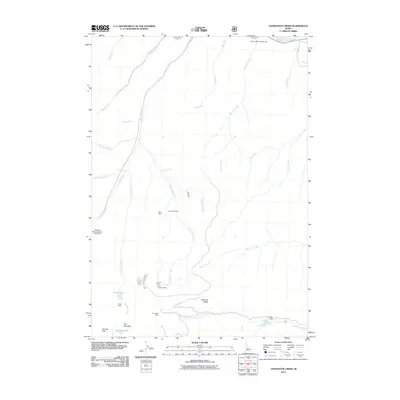
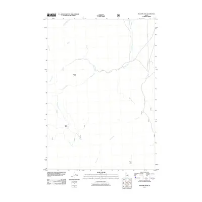
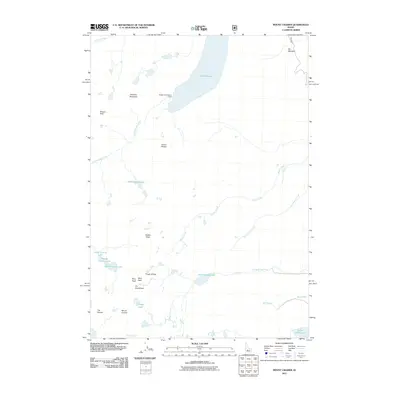
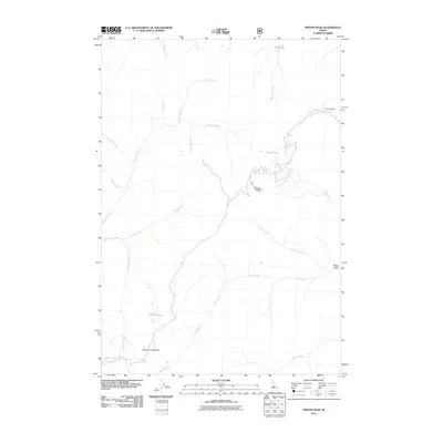
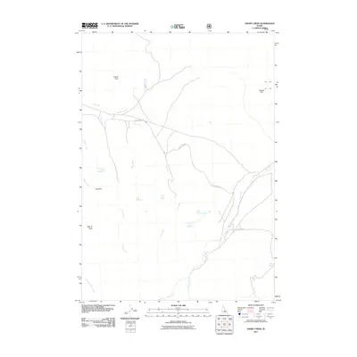
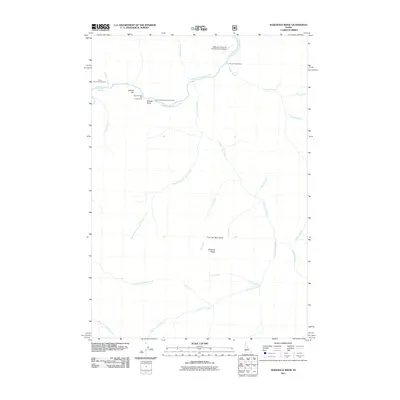
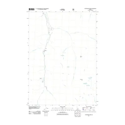
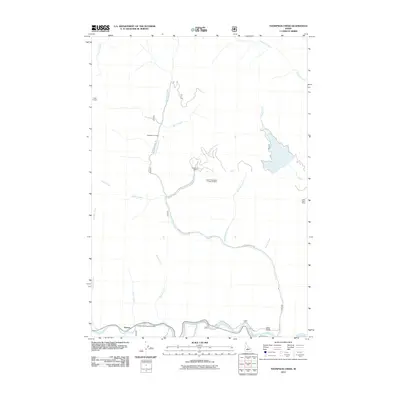
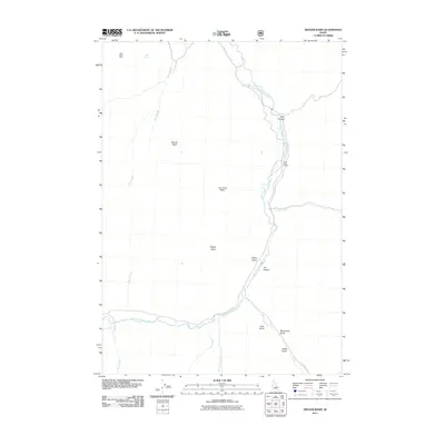
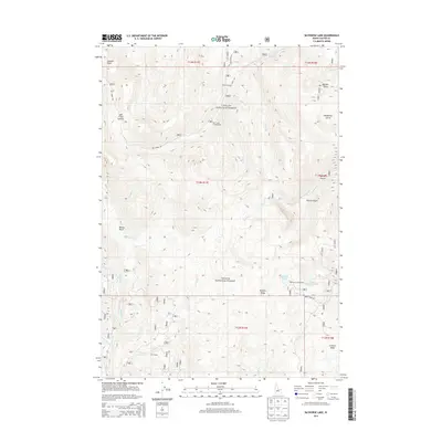
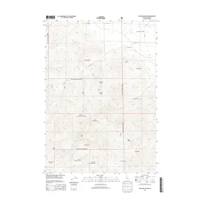
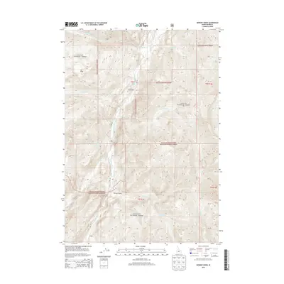
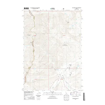
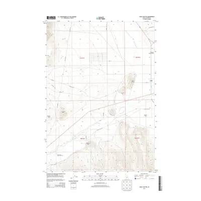
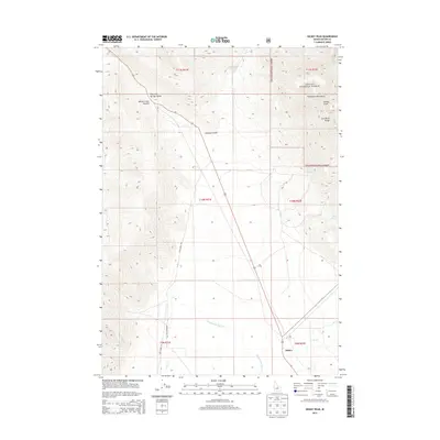
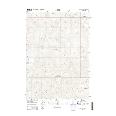
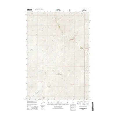
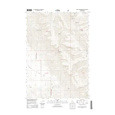
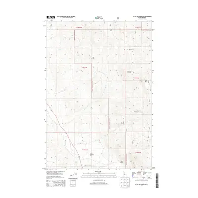
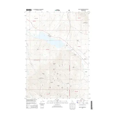
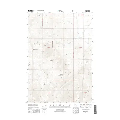
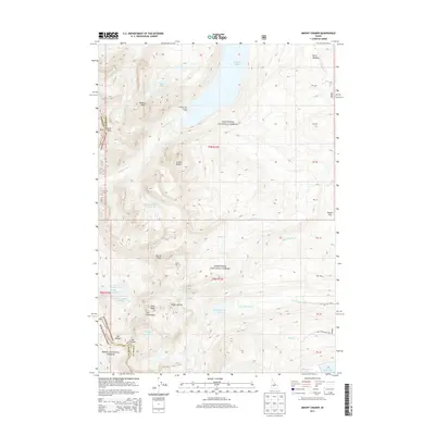
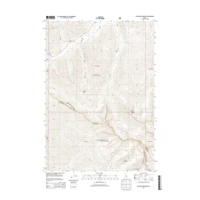
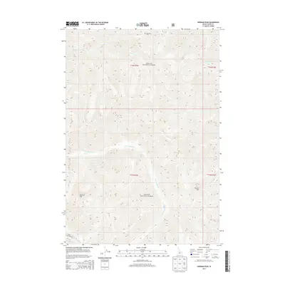
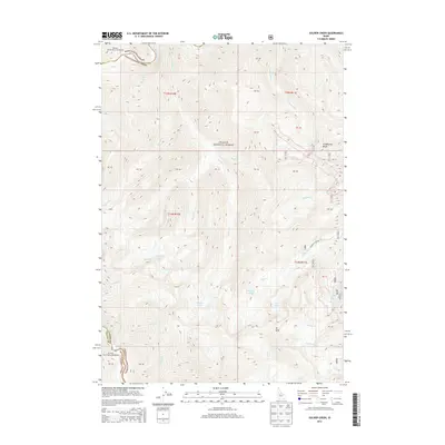
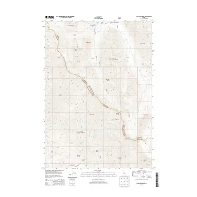
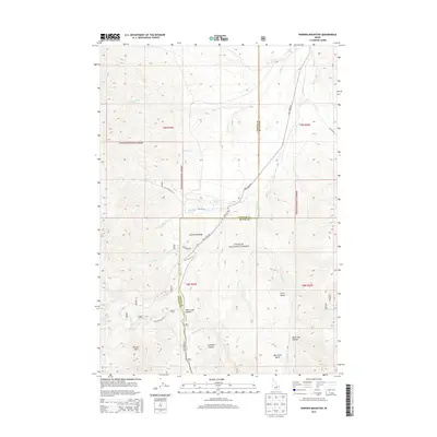
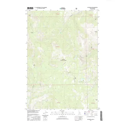
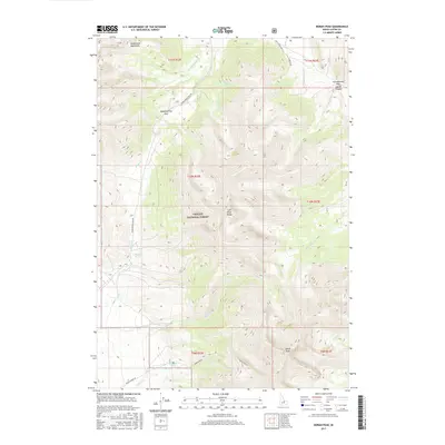
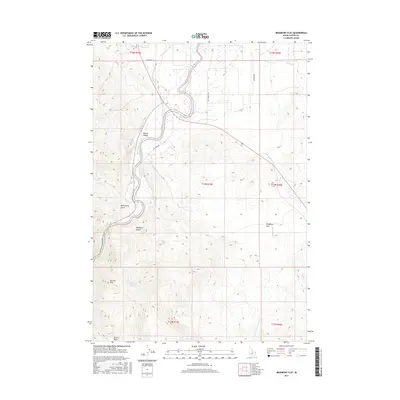
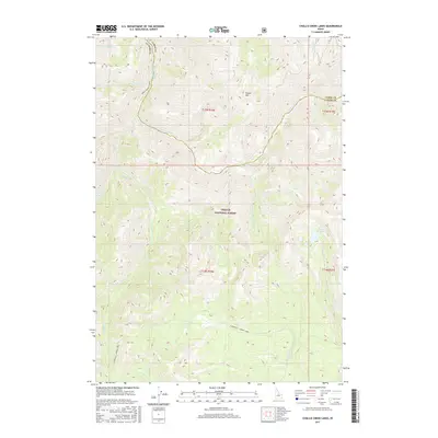
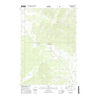
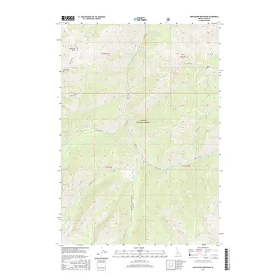
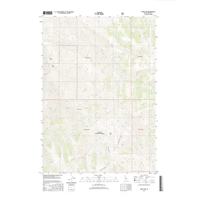
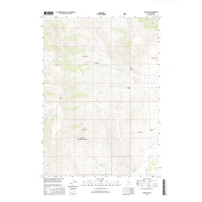
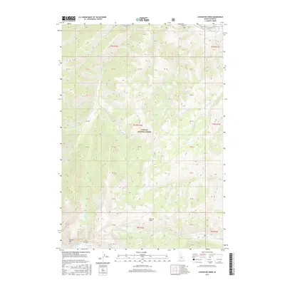
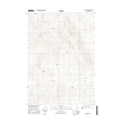
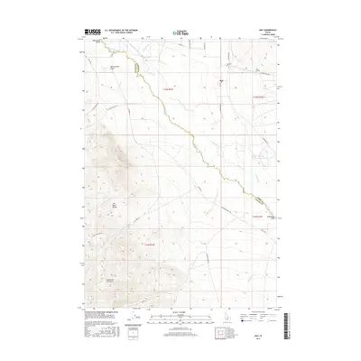
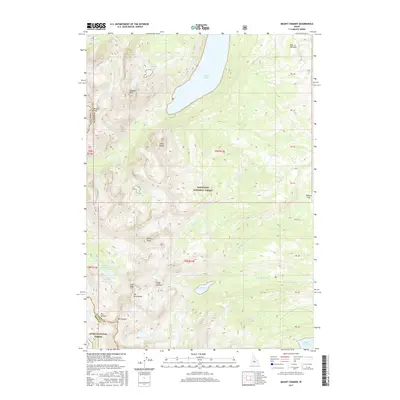
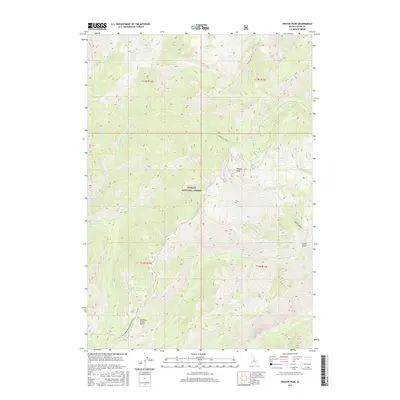
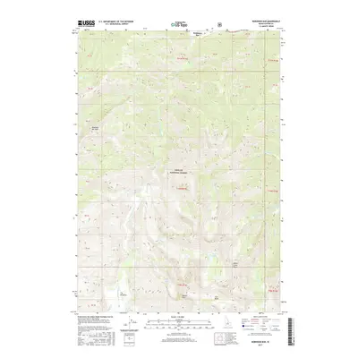
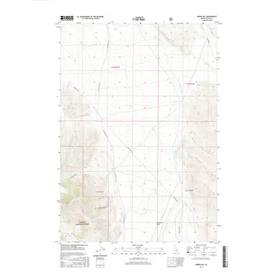
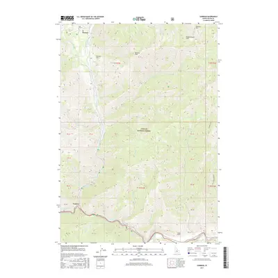
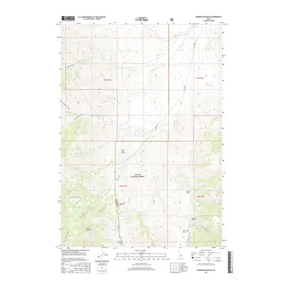
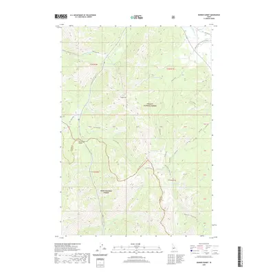
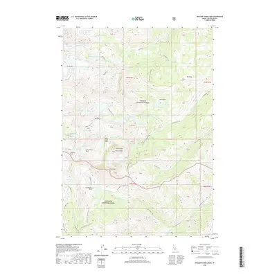
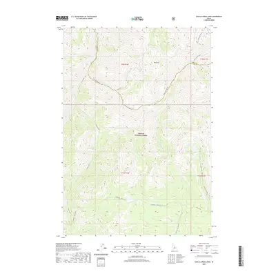
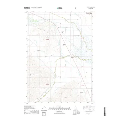
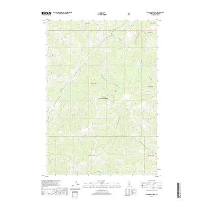
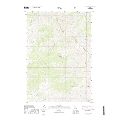
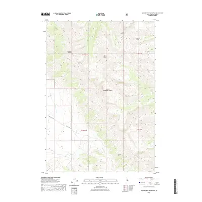
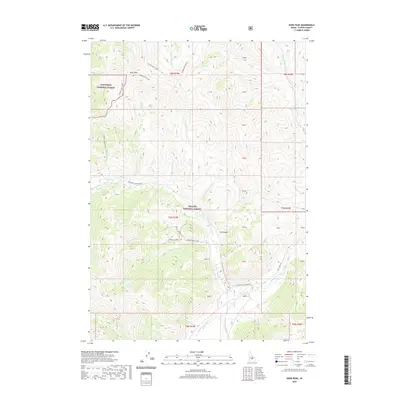
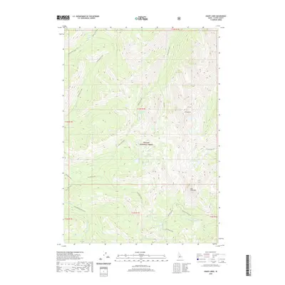
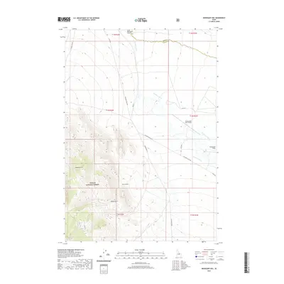
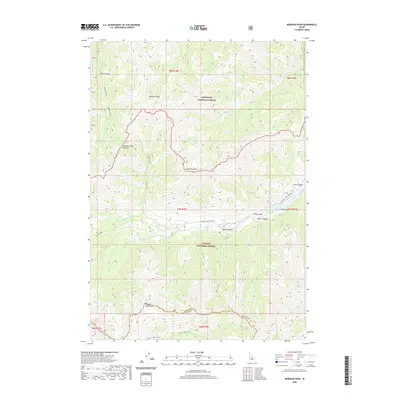
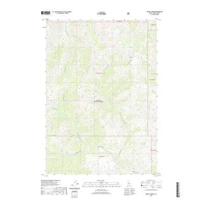
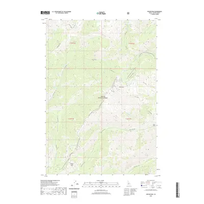
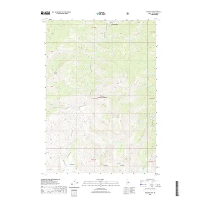
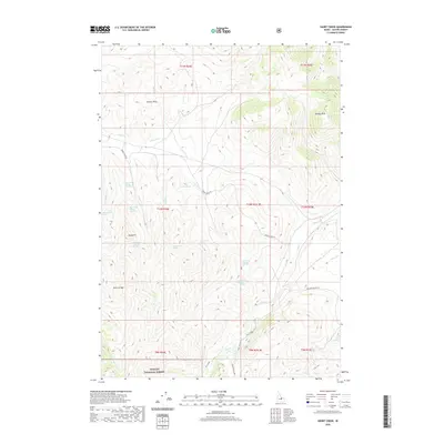
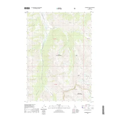
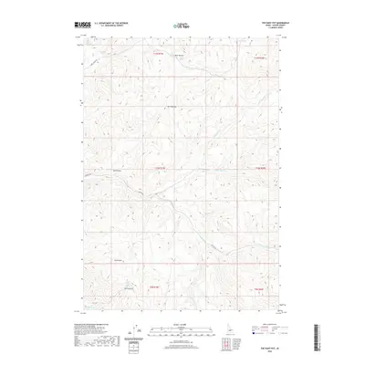
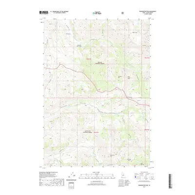
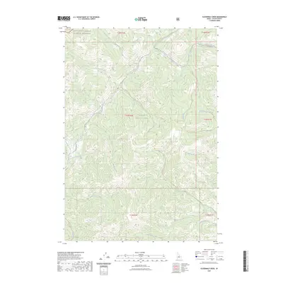
1963 Map of Challis Creek Lakes
USGS Topo · Published 1964About this map
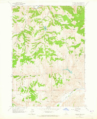
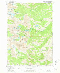
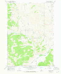
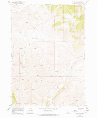
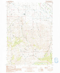
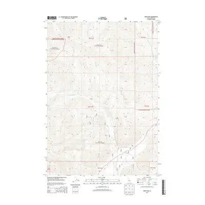
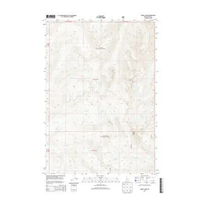
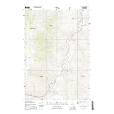
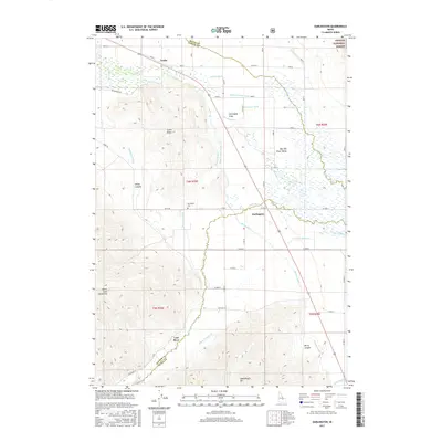
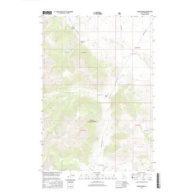
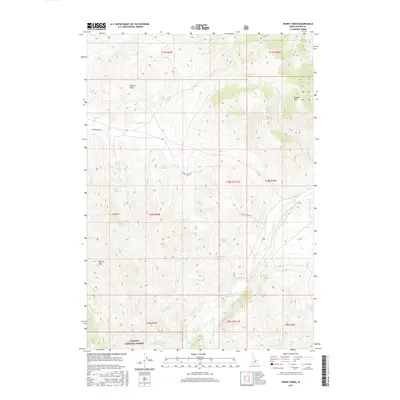
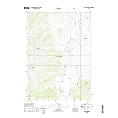
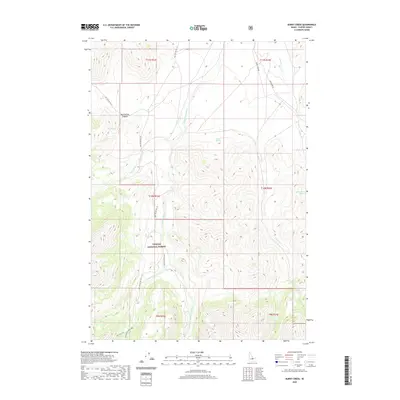
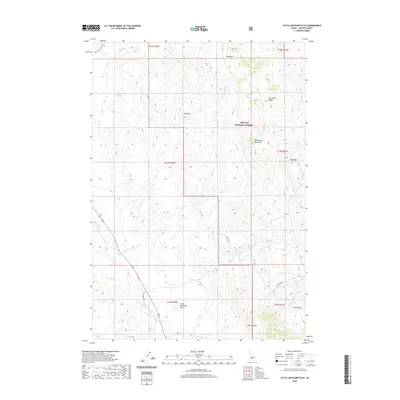
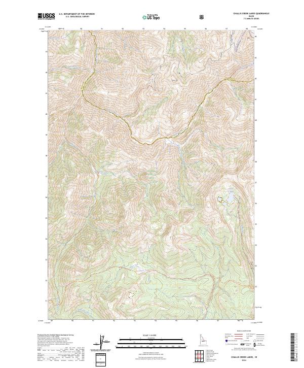
Challis National Forest dominates this mid-century topographic study, showcasing the high-elevation drainage systems of central Idaho. The map reveals a landscape defined by its industrial and hydraulic history, centered on the Parker Mine and Parker Mill located near Parker Mountain. These sites represent the mining legacy of the region, positioned amongst a complex network of waterways. Multiple drainages, including Warm Spring Creek, Wick iup Creek, and Trapper Creek, flow through the steep terrain, eventually feeding into the Yankee Fork and Challis Creek. Near the eastern boundary, the Challis Creek Lakes sit in a high glacial cirque, illustrating the rugged alpine character of the Salmon River Mountains. The boundary between Custer and Lemhi Counties bisects the northern section of the sheet, providing a precise record of jurisdictional lines as they relate to these mountain crests and stream headwaters.
Find a feature on this map
19 named features on this map. Tap any name to fly to it.
Don’t see what you’re looking for? This feature index may not catch every label — zoom into the map to look around manually.
Map Details
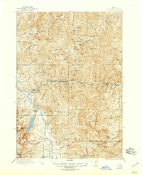
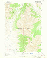
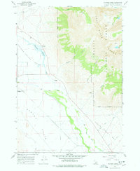
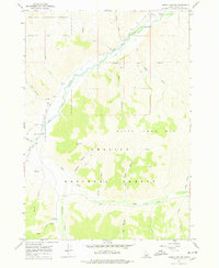
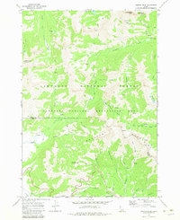
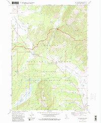
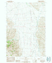
Editions of this 1963 Challis Creek Lakes Map
2 editions found
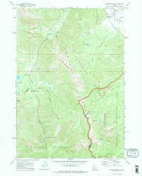
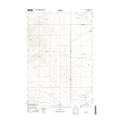
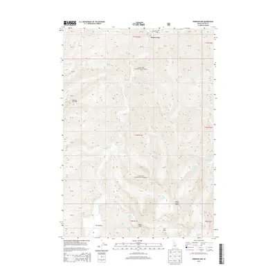
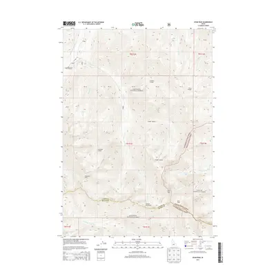
Historical Maps of Custer County Through Time
547 maps found

1919 Custer
Custer County, ID
1922 Custer
Custer County, ID

1929 Bayhorse
Custer County, ID

1935 Borah Peak
Custer County, ID

1935 MacKay
Custer County, ID
1938 Borah Peak
Custer County, ID
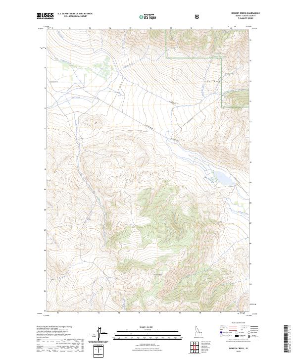
1956 Donkey Hills
Custer County, ID
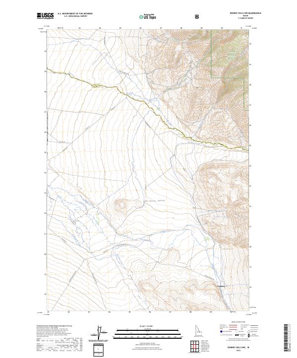
1956 Doublespring
Custer County, ID
1956 Twin Peaks
Custer County, ID
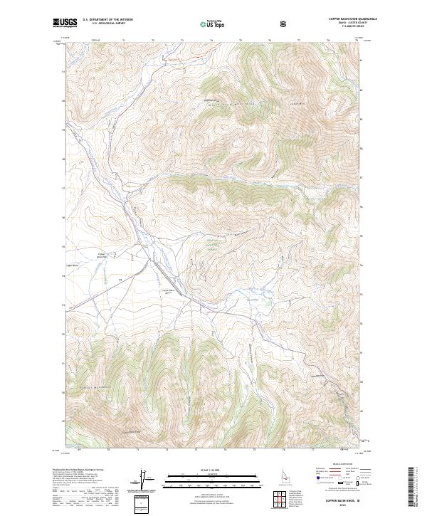
1960 Copper Basin
Custer County, ID
1961 Greyhound Ridge
Custer County, ID
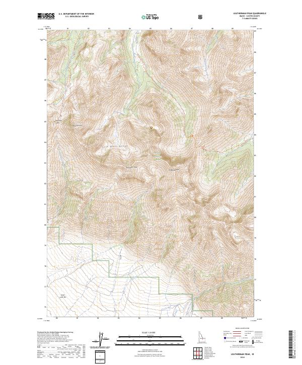
1962 Leatherman Peak
Custer County, ID
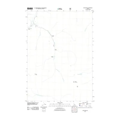
1963 Antelope Flat
Custer County, ID
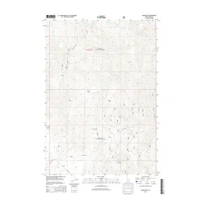
1963 Bald Mountain
Custer County, ID
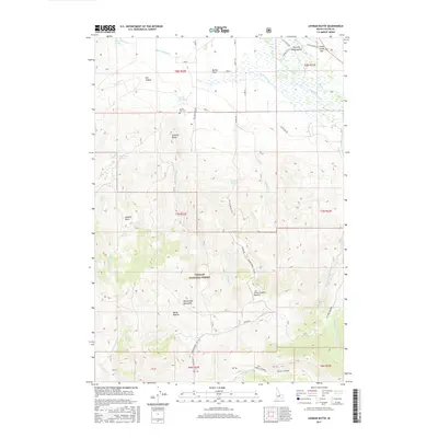
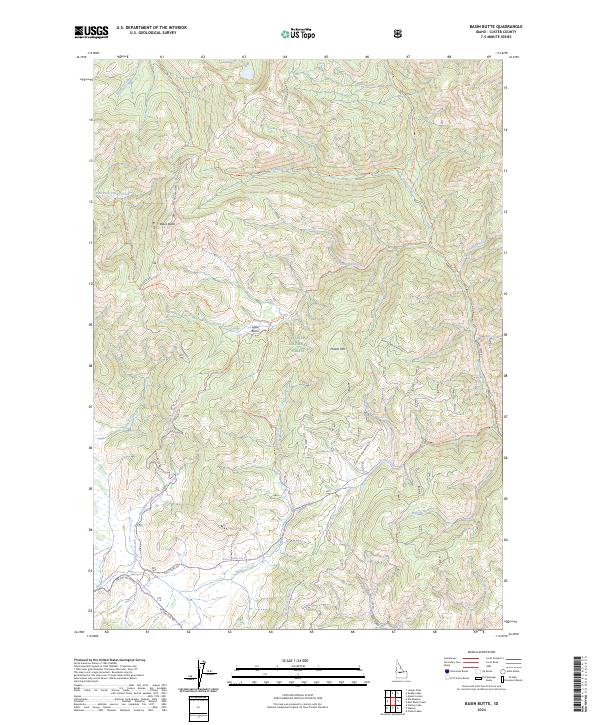
1963 Basin Butte
Custer County, ID
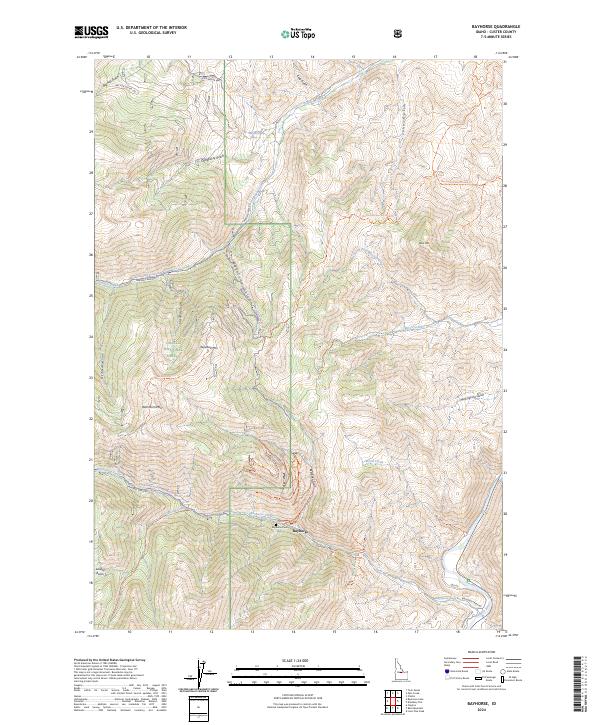
1963 Bayhorse
Custer County, ID
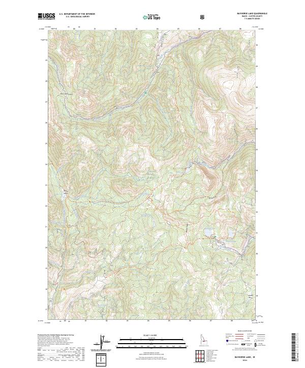
1963 Bayhorse Lake
Custer County, ID
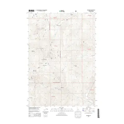
1963 Bowery Creek
Custer County, ID
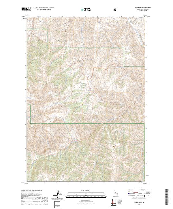
1963 Bowery Peak
Custer County, ID
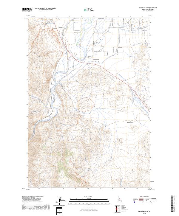
1963 Bradbury Flat
Custer County, ID
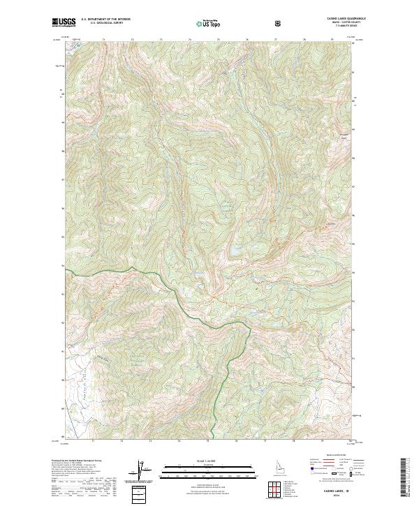
1963 Casino Lakes
Custer County, ID
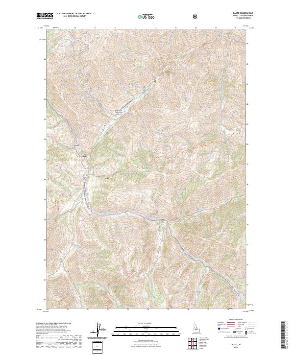
1963 Casto
Custer County, ID
1963 Challis Creek Lakes
Custer County, ID
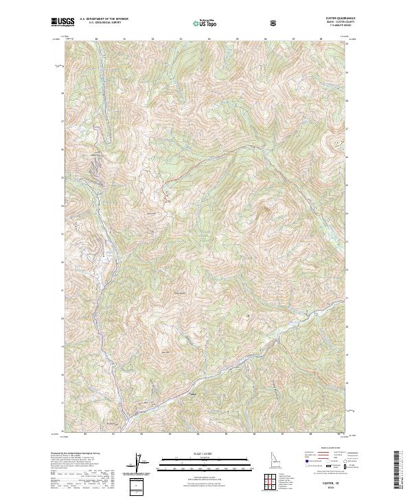
1963 Custer
Custer County, ID
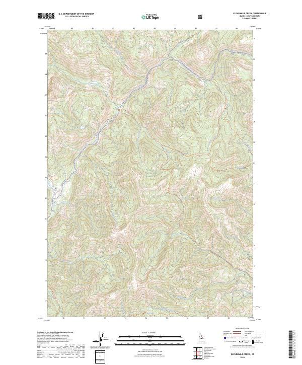
1963 Elevenmile Creek
Custer County, ID
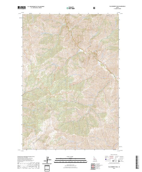
1963 Falconberry Peak
Custer County, ID
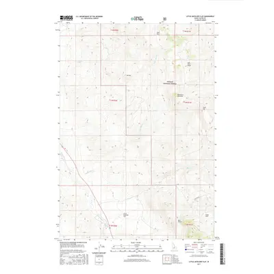
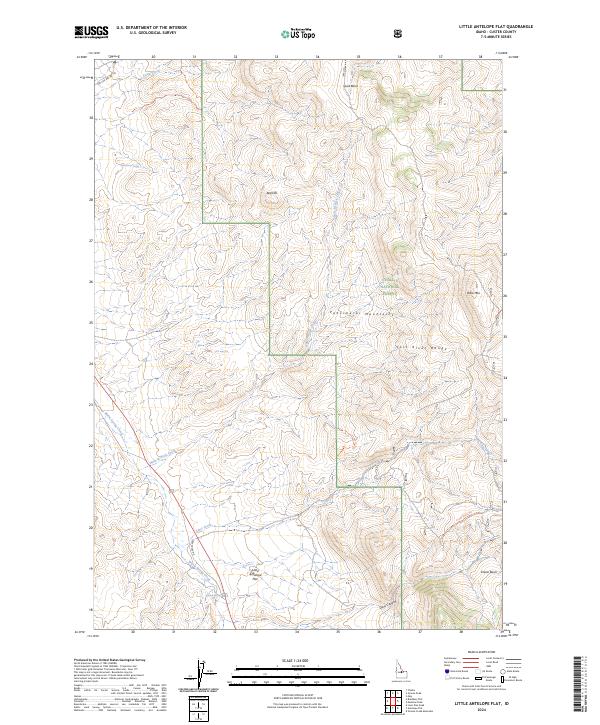
1963 Little Antelope Flat
Custer County, ID

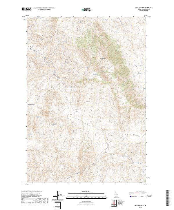
1963 Lone Pine Peak
Custer County, ID
1963 Lone Pine Peak
Custer County, ID
1963 Mt Cramer
Custer County, ID
1963 Obsidian
Custer County, ID
1963 Pinyon Peak
Custer County, ID
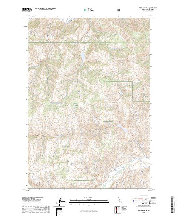
1963 Potaman Peak
Custer County, ID
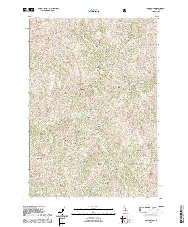
1963 Sherman Peak
Custer County, ID
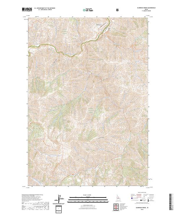
1963 Sliderock Ridge
Custer County, ID
1963 Ziegler Basin
Custer County, ID
1964 Boulder Chain Lakes
Custer County, ID
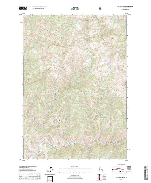
1964 East Basin Creek
Custer County, ID
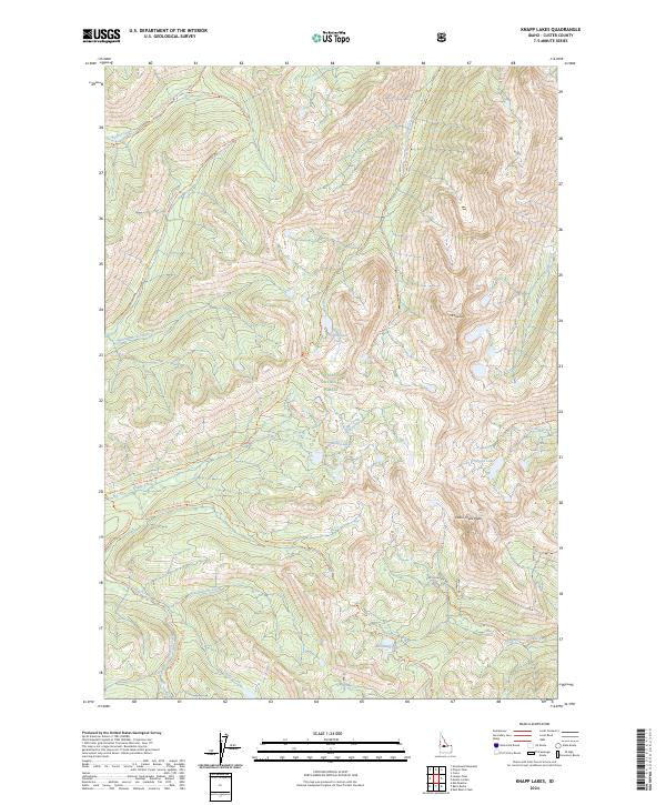
1964 Knapp Lakes
Custer County, ID
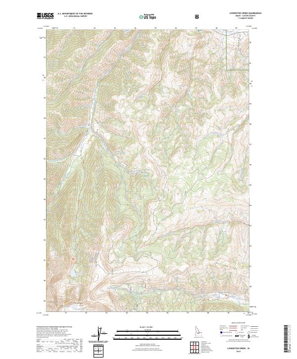
1964 Livingston Creek
Custer County, ID
1964 Mt Jordan
Custer County, ID
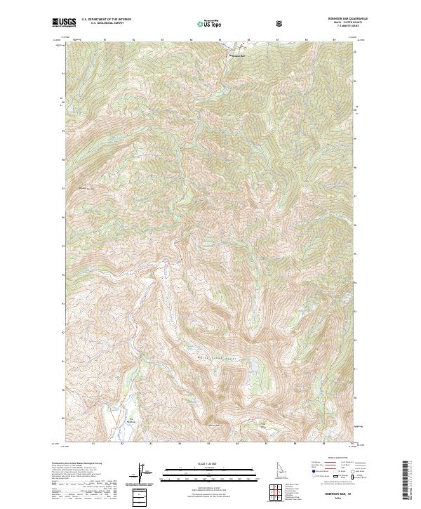
1964 Robinson Bar
Custer County, ID
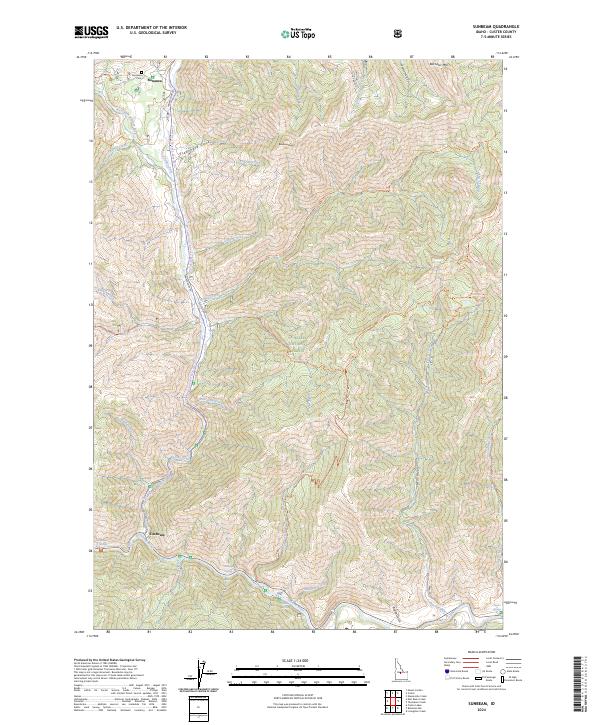
1964 Sunbeam
Custer County, ID
1964 Thompson Creek
Custer County, ID
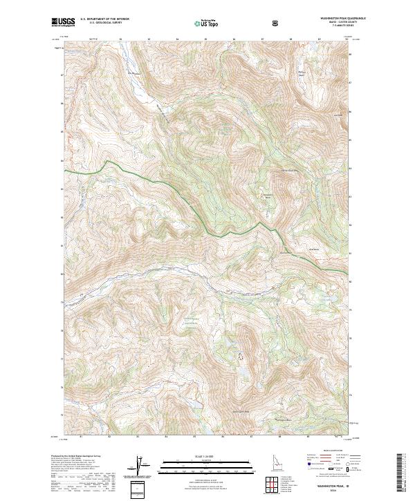
1964 Washington Peak
Custer County, ID
1967 Borah Peak
Custer County, ID
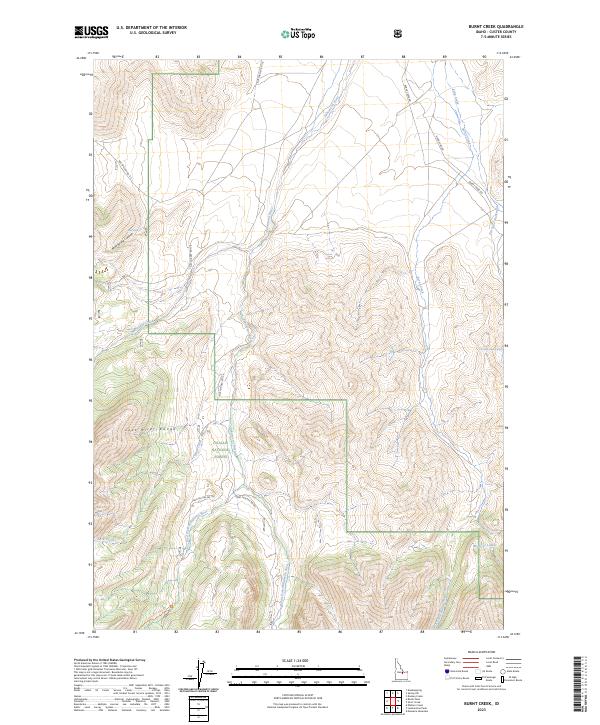
1967 Burnt Creek
Custer County, ID
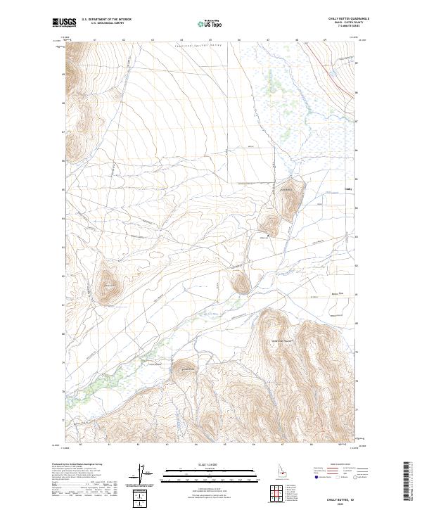
1967 Chilly Buttes
Custer County, ID
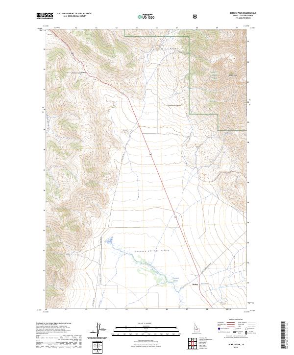
1967 Dickey Peak
Custer County, ID
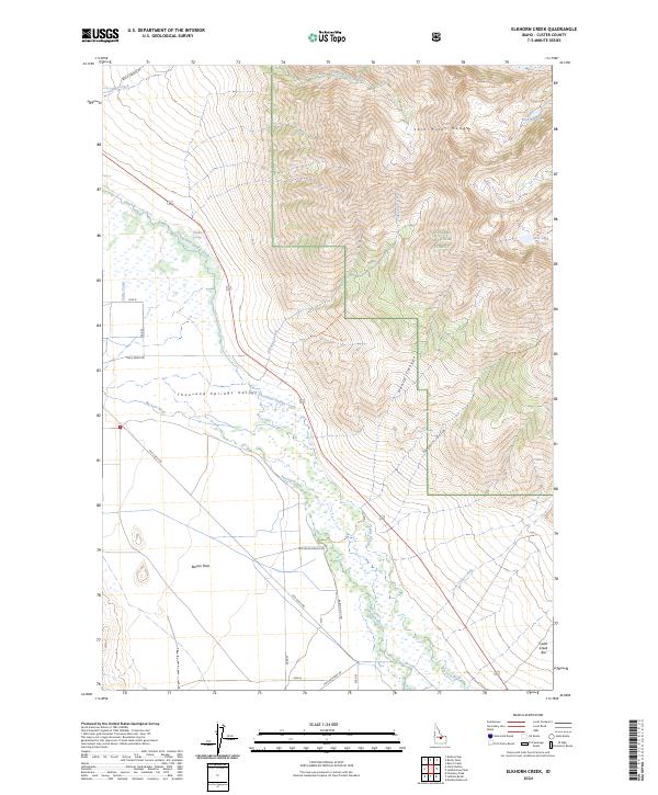
1967 Elkhorn Creek
Custer County, ID
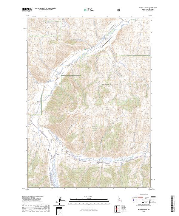
1967 Harry Canyon
Custer County, ID
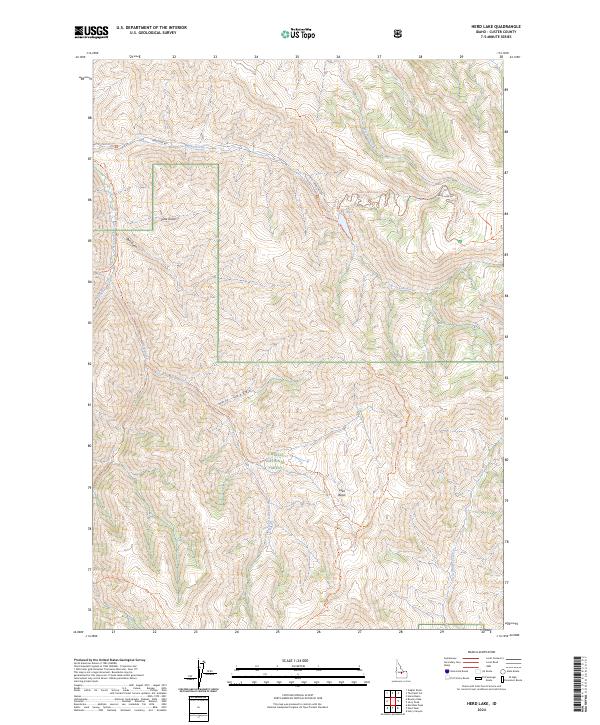
1967 Herd Lake
Custer County, ID
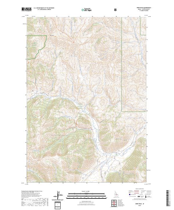
1967 Herd Peak
Custer County, ID
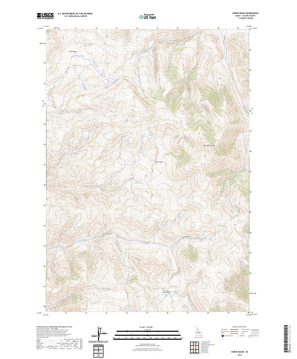
1967 Horse Basin
Custer County, ID
1967 Jerry Peak
Custer County, ID
1967 Leatherman Peak
Custer County, ID
1967 Massacre Mtn
Custer County, ID
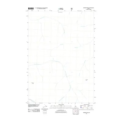
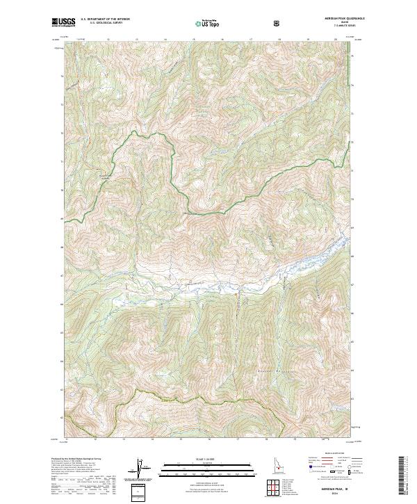
1967 Meridian Peak
Custer County, ID
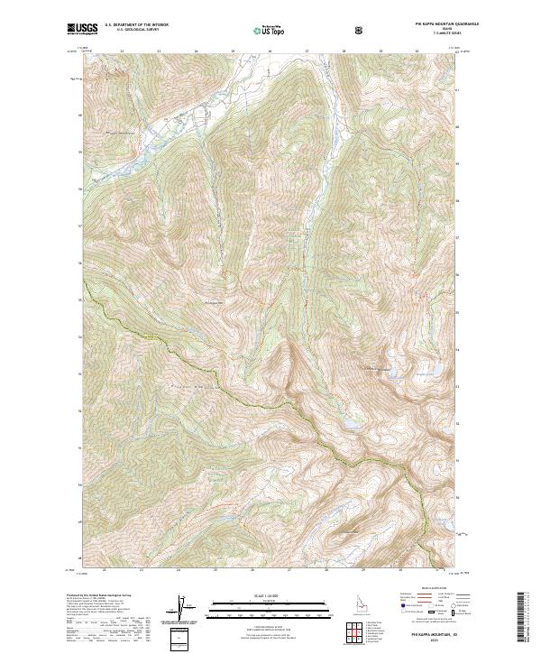
1967 Phi Kappa Mtn
Custer County, ID
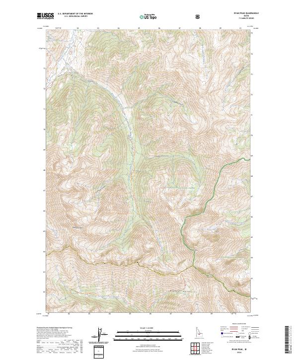
1967 Ryan Peak
Custer County, ID
1967 Short Creek
Custer County, ID
1967 Standhope Peak
Custer County, ID
1967 The Paint Pot
Custer County, ID
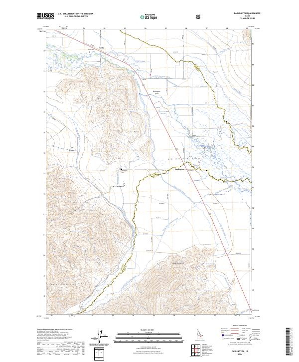
1969 Darlington
Custer County, ID
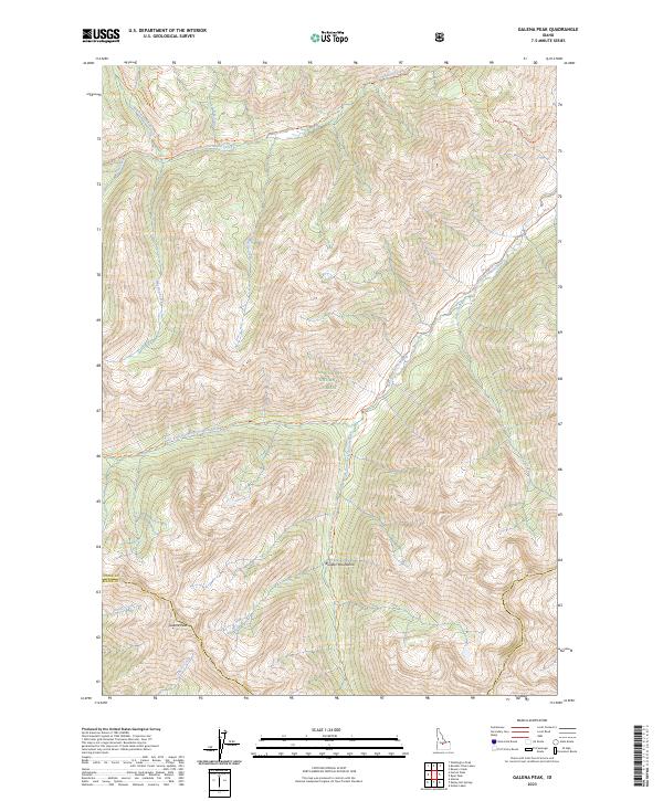
1970 Galena Peak
Custer County, ID
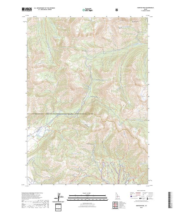
1970 Horton Peak
Custer County, ID
1972 Antelope Flat
Custer County, ID
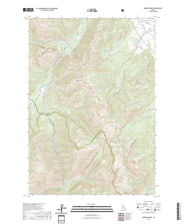
1972 Banner Summit
Custer County, ID
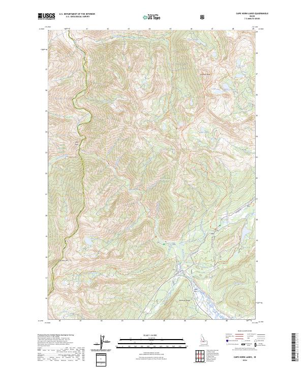
1972 Cape Horn Lakes
Custer County, ID
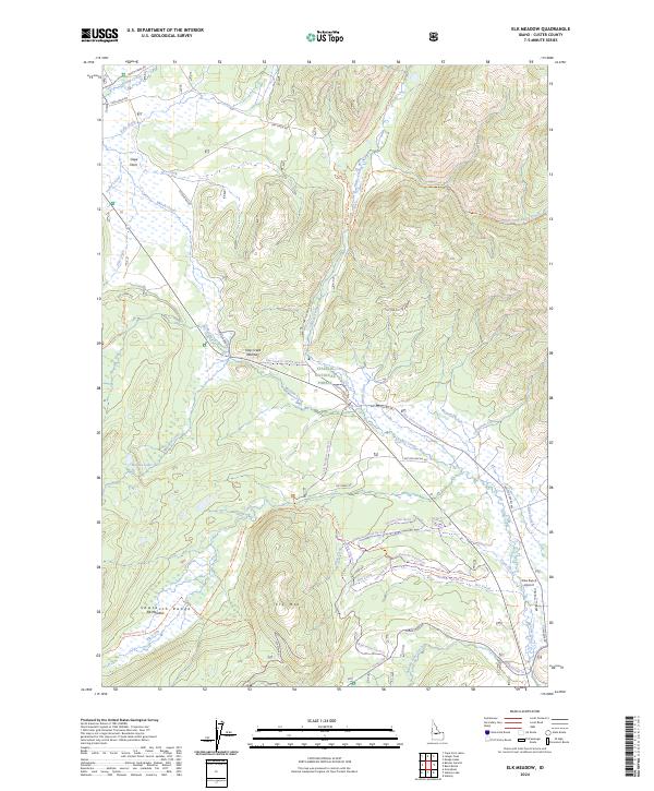
1972 Elk Meadow
Custer County, ID
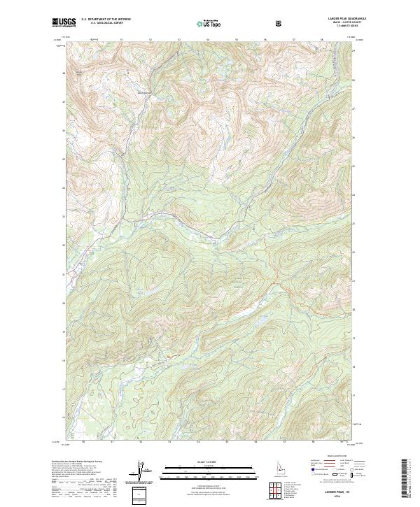
1972 Langer Peak
Custer County, ID
1972 Stanley Lake
Custer County, ID
1982 White Cloud Peaks
Custer County, ID
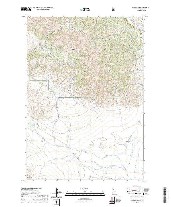
1987 Moffett Springs
Custer County, ID
1987 Red Hills
Custer County, ID
1987 Warren Mountain
Custer County, ID
1989 Blowfly Creek
Custer County, ID
1989 Borah Peak
Custer County, ID
1989 Donkey Creek
Custer County, ID
1989 Donkey Hills NW
Custer County, ID
1989 Doublespring
Custer County, ID
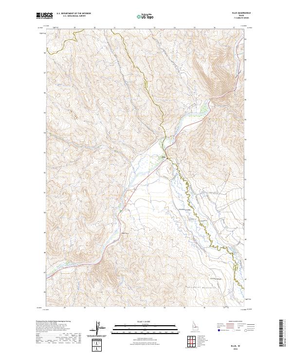
1989 Ellis
Custer County, ID
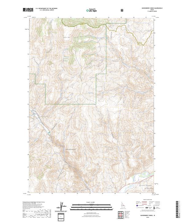
1989 Gooseberry Creek
Custer County, ID
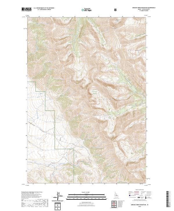
1989 Grouse Creek Mountain
Custer County, ID
1989 Grouse Peak
Custer County, ID
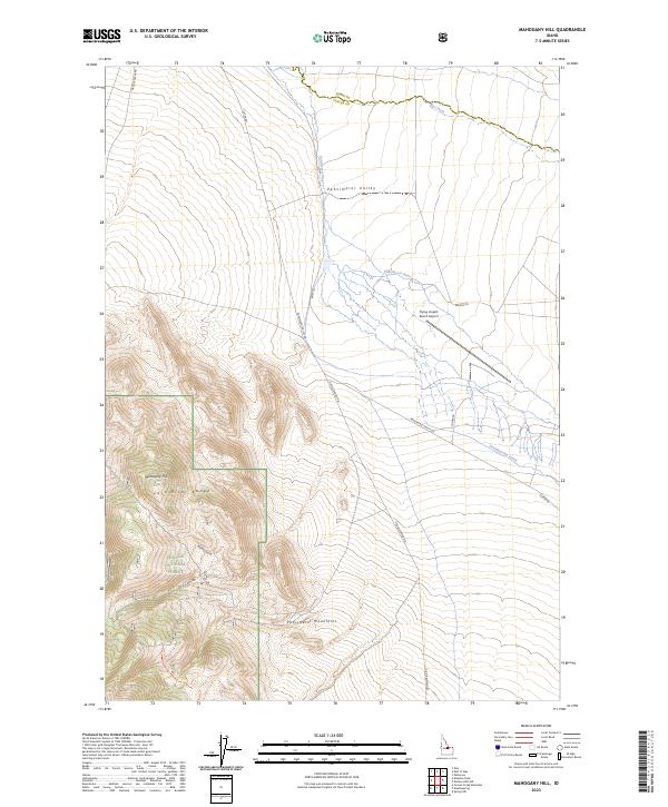
1989 Mahogany Hill
Custer County, ID
1989 May
Custer County, ID
1989 Meadow Peak
Custer County, ID
1989 Pats Creek
Custer County, ID
1989 Spring Hill
Custer County, ID
1989 Twin Peaks
Custer County, ID
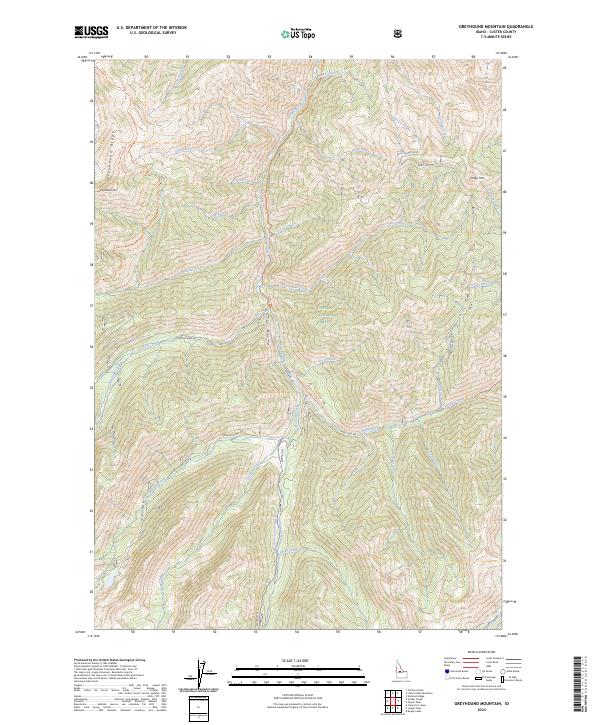
1990 Greyhound Mountain
Custer County, ID

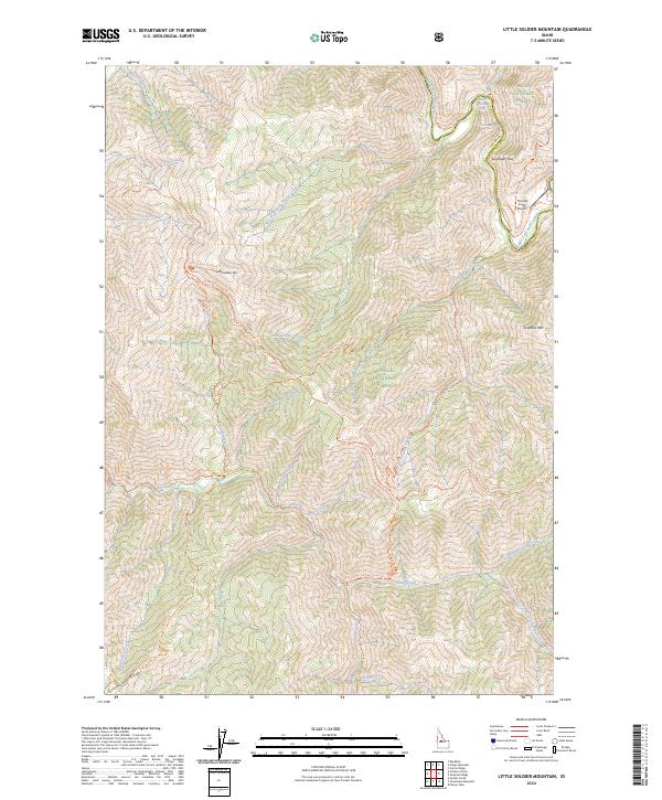
1990 Little Soldier Mountain
Custer County, ID
1990 Soldier Creek
Custer County, ID
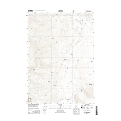
1991 Big Black Dome
Custer County, ID
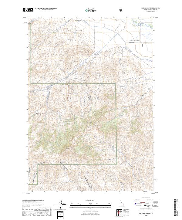
1991 Big Blind Canyon
Custer County, ID
1991 Copper Basin Knob
Custer County, ID
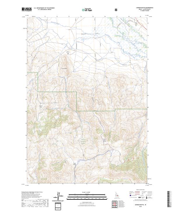
1991 Lehman Butte
Custer County, ID
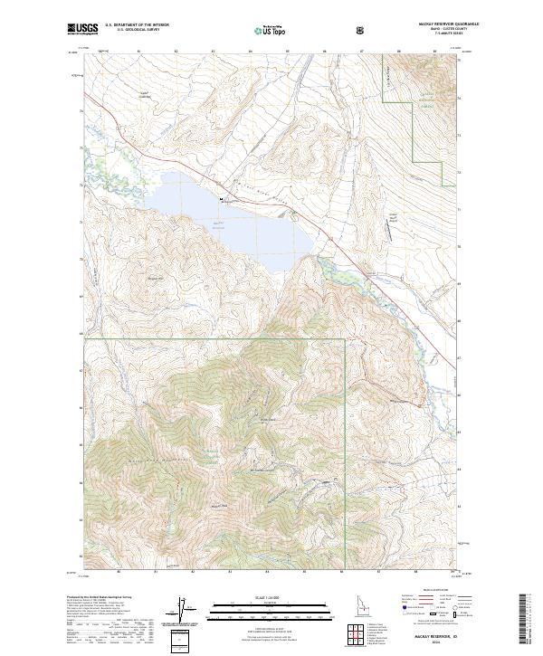
1991 Mackay Reservoir
Custer County, ID
1991 Miller Peak
Custer County, ID
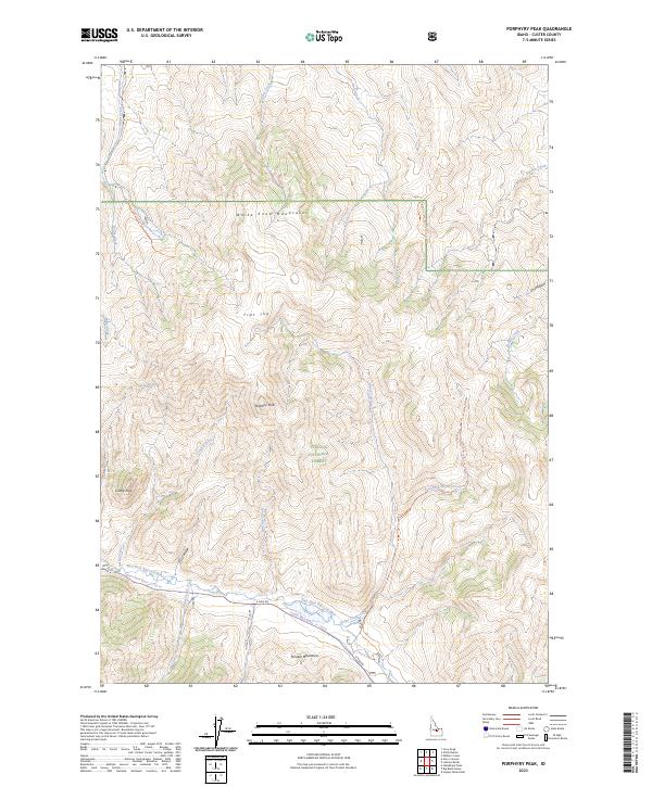
1991 Porphyry Peak
Custer County, ID
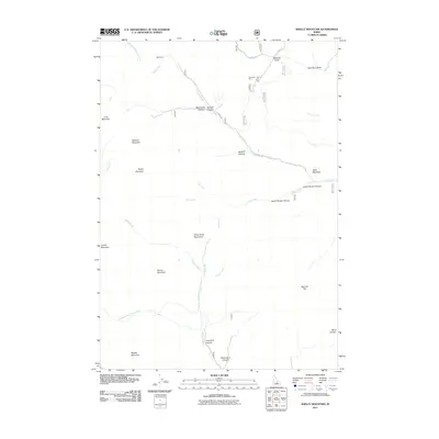
1991 Shelly Mountain
Custer County, ID
1991 Smiley Mountain
Custer County, ID
1991 Star Hope Mine
Custer County, ID
2010 Bradbury Flat
Custer County, ID
2010 Chilly Buttes
Custer County, ID
2010 Ellis
Custer County, ID
2010 Lone Pine Peak
Custer County, ID
2010 May
Custer County, ID
2010 Red Hills
Custer County, ID
2010 The Paint Pot
Custer County, ID
2011 Antelope Flat
Custer County, ID
2011 Bald Mountain
Custer County, ID
2011 Banner Summit
Custer County, ID
2011 Basin Butte
Custer County, ID
2011 Bayhorse
Custer County, ID
2011 Bayhorse Lake
Custer County, ID
2011 Big Black Dome
Custer County, ID
2011 Big Blind Canyon
Custer County, ID
2011 Blowfly Creek
Custer County, ID
2011 Borah Peak
Custer County, ID
2011 Boulder Chain Lakes
Custer County, ID
2011 Bowery Creek
Custer County, ID
2011 Bowery Peak
Custer County, ID
2011 Burnt Creek
Custer County, ID
2011 Cape Horn Lakes
Custer County, ID
2011 Casino Lakes
Custer County, ID

2011 Casto
Custer County, ID
2011 Challis Creek Lakes
Custer County, ID
2011 Copper Basin Knob
Custer County, ID
2011 Custer
Custer County, ID
2011 Darlington
Custer County, ID
2011 Dickey Peak
Custer County, ID
2011 Donkey Creek
Custer County, ID
2011 Donkey Hills NW
Custer County, ID
2011 Doublespring
Custer County, ID
2011 East Basin Creek
Custer County, ID
2011 Elevenmile Creek
Custer County, ID
2011 Elkhorn Creek
Custer County, ID
2011 Elk Meadow
Custer County, ID
2011 Falconberry Peak
Custer County, ID
2011 Galena Peak
Custer County, ID
2011 Gooseberry Creek
Custer County, ID
2011 Greyhound Mountain
Custer County, ID
2011 Grouse Creek Mountain
Custer County, ID
2011 Grouse Peak
Custer County, ID
2011 Harry Canyon
Custer County, ID
2011 Herd Lake
Custer County, ID
2011 Herd Peak
Custer County, ID
2011 Horse Basin
Custer County, ID
2011 Horton Peak
Custer County, ID
2011 Jerry Peak
Custer County, ID
2011 Knapp Lakes
Custer County, ID
2011 Langer Peak
Custer County, ID
2011 Leatherman Peak
Custer County, ID
2011 Lehman Butte
Custer County, ID
2011 Little Antelope Flat
Custer County, ID
2011 Little Soldier Mountain
Custer County, ID
2011 Livingston Creek
Custer County, ID
2011 Mackay Reservoir
Custer County, ID
2011 Mahogany Hill
Custer County, ID
2011 Massacre Mountain
Custer County, ID
2011 Meadow Peak
Custer County, ID
2011 Meridian Peak
Custer County, ID
2011 Miller Peak
Custer County, ID
2011 Moffett Springs
Custer County, ID
2011 Mount Cramer
Custer County, ID
2011 Mount Jordan
Custer County, ID

2011 Obsidian
Custer County, ID
2011 Pats Creek
Custer County, ID
2011 Phi Kappa Mountain
Custer County, ID
2011 Pinyon Peak
Custer County, ID
2011 Porphyry Peak
Custer County, ID
2011 Potaman Peak
Custer County, ID
2011 Robinson Bar
Custer County, ID
2011 Ryan Peak
Custer County, ID
2011 Shelly Mountain
Custer County, ID
2011 Sherman Peak
Custer County, ID
2011 Short Creek
Custer County, ID
2011 Sliderock Ridge
Custer County, ID
2011 Smiley Mountain
Custer County, ID
2011 Soldier Creek
Custer County, ID
2011 Spring Hill
Custer County, ID
2011 Standhope Peak
Custer County, ID
2011 Stanley Lake
Custer County, ID
2011 Star Hope Mine
Custer County, ID
2011 Sunbeam
Custer County, ID
2011 Thompson Creek
Custer County, ID
2011 Twin Peaks
Custer County, ID
2011 Warren Mountain
Custer County, ID
2011 Washington Peak
Custer County, ID
2011 Ziegler Basin
Custer County, ID
2013 Antelope Flat
Custer County, ID
2013 Bald Mountain
Custer County, ID
2013 Banner Summit
Custer County, ID
2013 Basin Butte
Custer County, ID
2013 Bayhorse
Custer County, ID
2013 Bayhorse Lake
Custer County, ID
2013 Big Black Dome
Custer County, ID
2013 Big Blind Canyon
Custer County, ID
2013 Blowfly Creek
Custer County, ID
2013 Borah Peak
Custer County, ID
2013 Boulder Chain Lakes
Custer County, ID
2013 Bowery Creek
Custer County, ID
2013 Bowery Peak
Custer County, ID
2013 Bradbury Flat
Custer County, ID
2013 Burnt Creek
Custer County, ID
2013 Cape Horn Lakes
Custer County, ID
2013 Casino Lakes
Custer County, ID
2013 Casto
Custer County, ID
2013 Challis Creek Lakes
Custer County, ID
2013 Chilly Buttes
Custer County, ID
2013 Copper Basin Knob
Custer County, ID
2013 Custer
Custer County, ID
2013 Darlington
Custer County, ID
2013 Dickey Peak
Custer County, ID
2013 Donkey Creek
Custer County, ID
2013 Donkey Hills NW
Custer County, ID

2013 Doublespring
Custer County, ID
2013 East Basin Creek
Custer County, ID
2013 Elevenmile Creek
Custer County, ID
2013 Elkhorn Creek
Custer County, ID
2013 Elk Meadow
Custer County, ID
2013 Ellis
Custer County, ID
2013 Falconberry Peak
Custer County, ID
2013 Galena Peak
Custer County, ID
2013 Gooseberry Creek
Custer County, ID
2013 Greyhound Mountain
Custer County, ID
2013 Grouse Creek Mountain
Custer County, ID
2013 Grouse Peak
Custer County, ID
2013 Harry Canyon
Custer County, ID
2013 Herd Lake
Custer County, ID
2013 Herd Peak
Custer County, ID
2013 Horse Basin
Custer County, ID
2013 Horton Peak
Custer County, ID
2013 Jerry Peak
Custer County, ID
2013 Knapp Lakes
Custer County, ID
2013 Langer Peak
Custer County, ID
2013 Leatherman Peak
Custer County, ID
2013 Lehman Butte
Custer County, ID
2013 Little Antelope Flat
Custer County, ID
2013 Little Soldier Mountain
Custer County, ID
2013 Livingston Creek
Custer County, ID
2013 Lone Pine Peak
Custer County, ID
2013 Mackay Reservoir
Custer County, ID
2013 Mahogany Hill
Custer County, ID
2013 Massacre Mountain
Custer County, ID
2013 May
Custer County, ID
2013 Meadow Peak
Custer County, ID
2013 Meridian Peak
Custer County, ID
2013 Miller Peak
Custer County, ID
2013 Moffett Springs
Custer County, ID
2013 Mount Cramer
Custer County, ID
2013 Mount Jordan
Custer County, ID
2013 Obsidian
Custer County, ID
2013 Pats Creek
Custer County, ID
2013 Phi Kappa Mountain
Custer County, ID
2013 Pinyon Peak
Custer County, ID
2013 Porphyry Peak
Custer County, ID
2013 Potaman Peak
Custer County, ID
2013 Red Hills
Custer County, ID
2013 Robinson Bar
Custer County, ID
2013 Ryan Peak
Custer County, ID
2013 Shelly Mountain
Custer County, ID
2013 Sherman Peak
Custer County, ID
2013 Short Creek
Custer County, ID
2013 Sliderock Ridge
Custer County, ID
2013 Smiley Mountain
Custer County, ID
2013 Soldier Creek
Custer County, ID
2013 Spring Hill
Custer County, ID
2013 Standhope Peak
Custer County, ID
2013 Stanley Lake
Custer County, ID
2013 Star Hope Mine
Custer County, ID

2013 Sunbeam
Custer County, ID
2013 The Paint Pot
Custer County, ID
2013 Thompson Creek
Custer County, ID
2013 Twin Peaks
Custer County, ID
2013 Warren Mountain
Custer County, ID
2013 Washington Peak
Custer County, ID
2013 Ziegler Basin
Custer County, ID
2017 Antelope Flat
Custer County, ID
2017 Bald Mountain
Custer County, ID
2017 Banner Summit
Custer County, ID
2017 Basin Butte
Custer County, ID
2017 Bayhorse
Custer County, ID
2017 Bayhorse Lake
Custer County, ID
2017 Big Black Dome
Custer County, ID
2017 Big Blind Canyon
Custer County, ID
2017 Blowfly Creek
Custer County, ID
2017 Borah Peak
Custer County, ID
2017 Boulder Chain Lakes
Custer County, ID
2017 Bowery Creek
Custer County, ID
2017 Bowery Peak
Custer County, ID
2017 Bradbury Flat
Custer County, ID
2017 Burnt Creek
Custer County, ID
2017 Cape Horn Lakes
Custer County, ID
2017 Casino Lakes
Custer County, ID

2017 Casto
Custer County, ID
2017 Challis Creek Lakes
Custer County, ID
2017 Chilly Buttes
Custer County, ID
2017 Copper Basin Knob
Custer County, ID
2017 Custer
Custer County, ID
2017 Darlington
Custer County, ID
2017 Dickey Peak
Custer County, ID
2017 Donkey Creek
Custer County, ID
2017 Donkey Hills NW
Custer County, ID
2017 Doublespring
Custer County, ID
2017 East Basin Creek
Custer County, ID
2017 Elevenmile Creek
Custer County, ID
2017 Elkhorn Creek
Custer County, ID
2017 Elk Meadow
Custer County, ID

2017 Ellis
Custer County, ID
2017 Falconberry Peak
Custer County, ID
2017 Galena Peak
Custer County, ID
2017 Gooseberry Creek
Custer County, ID
2017 Greyhound Mountain
Custer County, ID
2017 Grouse Creek Mountain
Custer County, ID
2017 Grouse Peak
Custer County, ID
2017 Harry Canyon
Custer County, ID
2017 Herd Lake
Custer County, ID
2017 Herd Peak
Custer County, ID
2017 Horse Basin
Custer County, ID
2017 Horton Peak
Custer County, ID
2017 Jerry Peak
Custer County, ID
2017 Knapp Lakes
Custer County, ID
2017 Langer Peak
Custer County, ID
2017 Leatherman Peak
Custer County, ID
2017 Lehman Butte
Custer County, ID
2017 Little Antelope Flat
Custer County, ID
2017 Little Soldier Mountain
Custer County, ID
2017 Livingston Creek
Custer County, ID
2017 Lone Pine Peak
Custer County, ID
2017 Mackay Reservoir
Custer County, ID
2017 Mahogany Hill
Custer County, ID
2017 Massacre Mountain
Custer County, ID
2017 May
Custer County, ID
2017 Meadow Peak
Custer County, ID

2017 Meridian Peak
Custer County, ID
2017 Miller Peak
Custer County, ID
2017 Moffett Springs
Custer County, ID
2017 Mount Cramer
Custer County, ID
2017 Mount Jordan
Custer County, ID
2017 Obsidian
Custer County, ID
2017 Pats Creek
Custer County, ID

2017 Phi Kappa Mountain
Custer County, ID
2017 Pinyon Peak
Custer County, ID
2017 Porphyry Peak
Custer County, ID
2017 Potaman Peak
Custer County, ID
2017 Red Hills
Custer County, ID
2017 Robinson Bar
Custer County, ID
2017 Ryan Peak
Custer County, ID
2017 Shelly Mountain
Custer County, ID
2017 Sherman Peak
Custer County, ID
2017 Short Creek
Custer County, ID
2017 Sliderock Ridge
Custer County, ID
2017 Smiley Mountain
Custer County, ID
2017 Soldier Creek
Custer County, ID
2017 Spring Hill
Custer County, ID
2017 Standhope Peak
Custer County, ID
2017 Stanley Lake
Custer County, ID
2017 Star Hope Mine
Custer County, ID
2017 Sunbeam
Custer County, ID
2017 The Paint Pot
Custer County, ID
2017 Thompson Creek
Custer County, ID
2017 Twin Peaks
Custer County, ID
2017 Warren Mountain
Custer County, ID
2017 Washington Peak
Custer County, ID
2017 Ziegler Basin
Custer County, ID

2020 Antelope Flat
Custer County, ID
2020 Bald Mountain
Custer County, ID
2020 Banner Summit
Custer County, ID
2020 Basin Butte
Custer County, ID
2020 Bayhorse
Custer County, ID
2020 Bayhorse Lake
Custer County, ID
2020 Big Black Dome
Custer County, ID
2020 Big Blind Canyon
Custer County, ID
2020 Blowfly Creek
Custer County, ID
2020 Borah Peak
Custer County, ID
2020 Boulder Chain Lakes
Custer County, ID
2020 Bowery Creek
Custer County, ID
2020 Bowery Peak
Custer County, ID
2020 Bradbury Flat
Custer County, ID
2020 Burnt Creek
Custer County, ID
2020 Cape Horn Lakes
Custer County, ID
2020 Casino Lakes
Custer County, ID
2020 Casto
Custer County, ID
2020 Challis Creek Lakes
Custer County, ID
2020 Chilly Buttes
Custer County, ID
2020 Copper Basin Knob
Custer County, ID
2020 Custer
Custer County, ID
2020 Darlington
Custer County, ID

2020 Dickey Peak
Custer County, ID
2020 Donkey Creek
Custer County, ID
2020 Donkey Hills NW
Custer County, ID
2020 Doublespring
Custer County, ID

2020 East Basin Creek
Custer County, ID
2020 Elevenmile Creek
Custer County, ID
2020 Elkhorn Creek
Custer County, ID
2020 Elk Meadow
Custer County, ID
2020 Ellis
Custer County, ID
2020 Falconberry Peak
Custer County, ID
2020 Galena Peak
Custer County, ID
2020 Gooseberry Creek
Custer County, ID
2020 Greyhound Mountain
Custer County, ID
2020 Grouse Creek Mountain
Custer County, ID
2020 Grouse Peak
Custer County, ID
2020 Harry Canyon
Custer County, ID
2020 Herd Lake
Custer County, ID
2020 Herd Peak
Custer County, ID
2020 Horse Basin
Custer County, ID
2020 Horton Peak
Custer County, ID
2020 Jerry Peak
Custer County, ID
2020 Knapp Lakes
Custer County, ID
2020 Langer Peak
Custer County, ID
2020 Leatherman Peak
Custer County, ID
2020 Lehman Butte
Custer County, ID
2020 Little Antelope Flat
Custer County, ID
2020 Little Soldier Mountain
Custer County, ID
2020 Livingston Creek
Custer County, ID
2020 Lone Pine Peak
Custer County, ID

2020 Mackay Reservoir
Custer County, ID
2020 Mahogany Hill
Custer County, ID
2020 Massacre Mountain
Custer County, ID
2020 May
Custer County, ID
2020 Meadow Peak
Custer County, ID
2020 Meridian Peak
Custer County, ID
2020 Miller Peak
Custer County, ID
2020 Moffett Springs
Custer County, ID
2020 Mount Cramer
Custer County, ID
2020 Mount Jordan
Custer County, ID
2020 Obsidian
Custer County, ID
2020 Pats Creek
Custer County, ID
2020 Phi Kappa Mountain
Custer County, ID
2020 Pinyon Peak
Custer County, ID
2020 Porphyry Peak
Custer County, ID
2020 Potaman Peak
Custer County, ID
2020 Red Hills
Custer County, ID
2020 Robinson Bar
Custer County, ID
2020 Ryan Peak
Custer County, ID
2020 Shelly Mountain
Custer County, ID
2020 Sherman Peak
Custer County, ID
2020 Short Creek
Custer County, ID
2020 Sliderock Ridge
Custer County, ID
2020 Smiley Mountain
Custer County, ID
2020 Soldier Creek
Custer County, ID

2020 Spring Hill
Custer County, ID
2020 Standhope Peak
Custer County, ID
2020 Stanley Lake
Custer County, ID
2020 Star Hope Mine
Custer County, ID
2020 Sunbeam
Custer County, ID
2020 The Paint Pot
Custer County, ID
2020 Thompson Creek
Custer County, ID
2020 Twin Peaks
Custer County, ID
2020 Warren Mountain
Custer County, ID
2020 Washington Peak
Custer County, ID
2020 Ziegler Basin
Custer County, ID
2023 Bayhorse Lake
Custer County, ID
2023 Big Black Dome
Custer County, ID
2023 Big Blind Canyon
Custer County, ID
2023 Burnt Creek
Custer County, ID
2023 Chilly Buttes
Custer County, ID
2023 Copper Basin Knob
Custer County, ID
2023 Donkey Creek
Custer County, ID
2023 Donkey Hills NW
Custer County, ID
2023 Doublespring
Custer County, ID
2023 Elevenmile Creek
Custer County, ID
2023 Galena Peak
Custer County, ID
2023 Herd Peak
Custer County, ID
2023 Lehman Butte
Custer County, ID
2023 Mahogany Hill
Custer County, ID
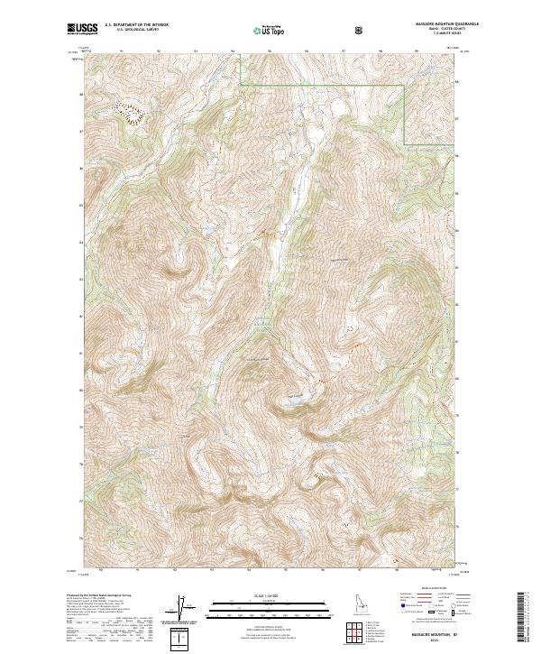
2023 Massacre Mountain
Custer County, ID
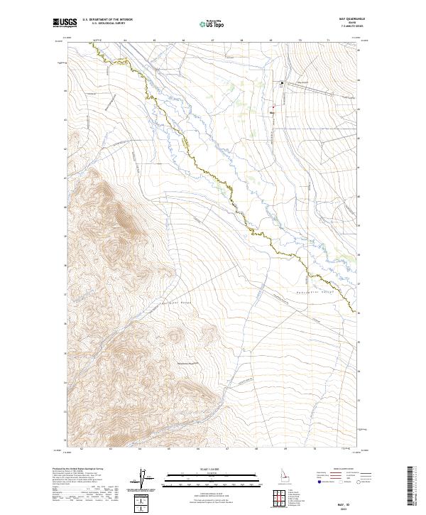
2023 May
Custer County, ID
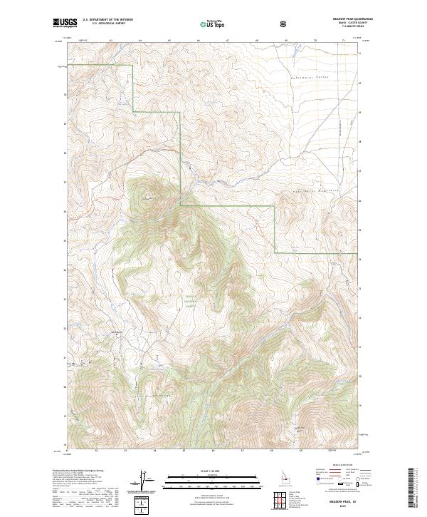
2023 Meadow Peak
Custer County, ID
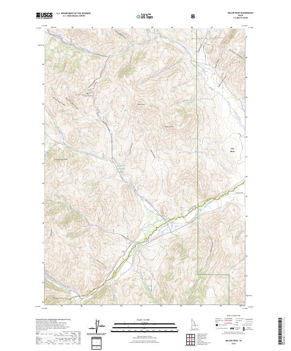
2023 Miller Peak
Custer County, ID
2023 Moffett Springs
Custer County, ID
2023 Phi Kappa Mountain
Custer County, ID
2023 Porphyry Peak
Custer County, ID
2023 Potaman Peak
Custer County, ID
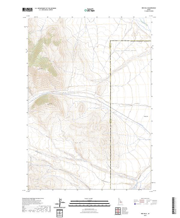
2023 Red Hills
Custer County, ID
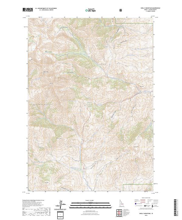
2023 Shelly Mountain
Custer County, ID
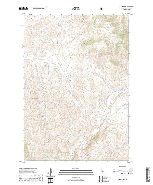
2023 Short Creek
Custer County, ID
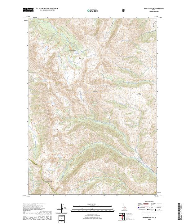
2023 Smiley Mountain
Custer County, ID
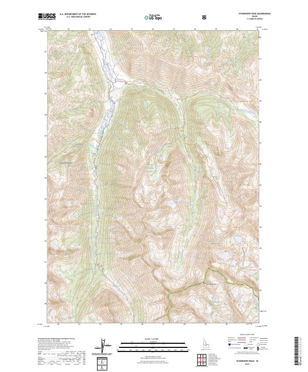
2023 Standhope Peak
Custer County, ID
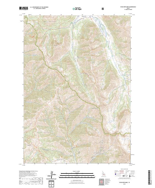
2023 Star Hope Mine
Custer County, ID
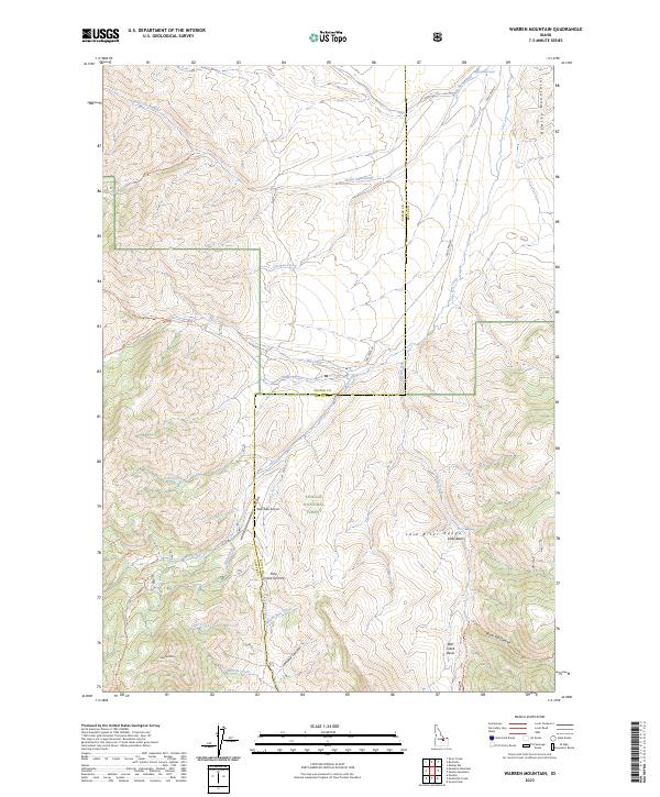
2023 Warren Mountain
Custer County, ID
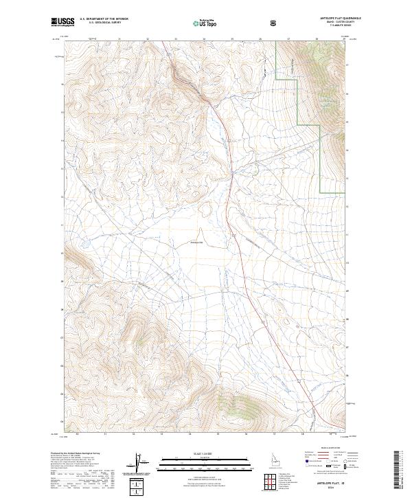
2024 Antelope Flat
Custer County, ID

2024 Bald Mountain
Custer County, ID
2024 Banner Summit
Custer County, ID
2024 Basin Butte
Custer County, ID
2024 Bayhorse
Custer County, ID
2024 Bayhorse Lake
Custer County, ID
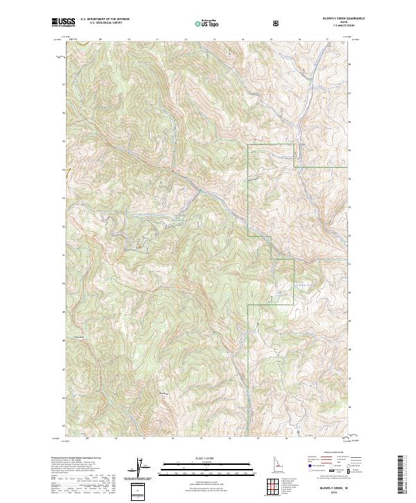
2024 Blowfly Creek
Custer County, ID
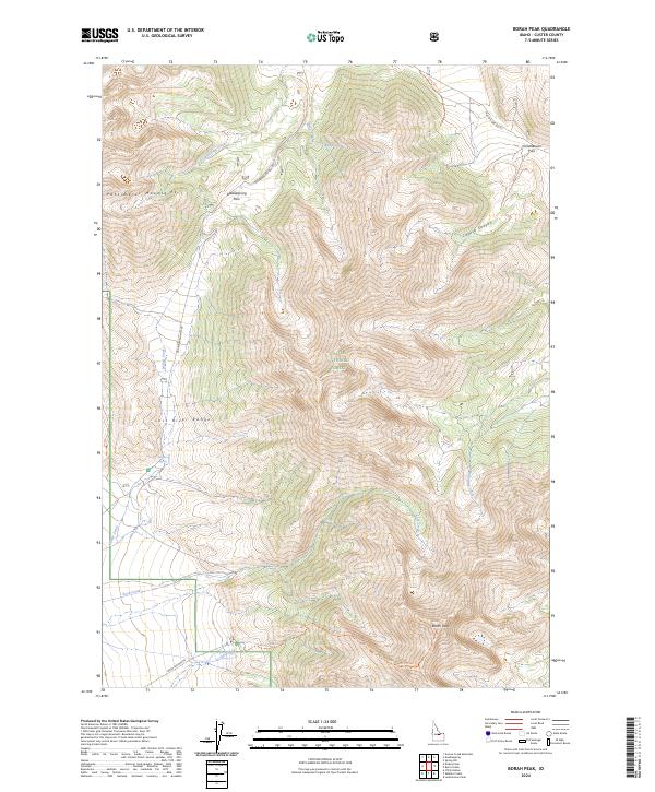
2024 Borah Peak
Custer County, ID
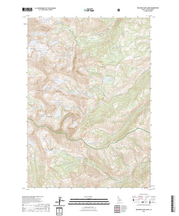
2024 Boulder Chain Lakes
Custer County, ID
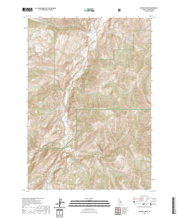
2024 Bowery Creek
Custer County, ID
2024 Bowery Peak
Custer County, ID
2024 Bradbury Flat
Custer County, ID
2024 Cape Horn Lakes
Custer County, ID
2024 Casino Lakes
Custer County, ID
2024 Casto
Custer County, ID
2024 Challis Creek Lakes
Custer County, ID
2024 Custer
Custer County, ID
2024 Darlington
Custer County, ID
2024 Dickey Peak
Custer County, ID
2024 East Basin Creek
Custer County, ID
2024 Elevenmile Creek
Custer County, ID
2024 Elkhorn Creek
Custer County, ID
2024 Elk Meadow
Custer County, ID
2024 Ellis
Custer County, ID
2024 Falconberry Peak
Custer County, ID
2024 Gooseberry Creek
Custer County, ID
2024 Greyhound Mountain
Custer County, ID
2024 Grouse Creek Mountain
Custer County, ID
2024 Grouse Peak
Custer County, ID
2024 Harry Canyon
Custer County, ID
2024 Herd Lake
Custer County, ID
2024 Horse Basin
Custer County, ID
2024 Horton Peak
Custer County, ID

2024 Jerry Peak
Custer County, ID
2024 Knapp Lakes
Custer County, ID
2024 Langer Peak
Custer County, ID
2024 Leatherman Peak
Custer County, ID
2024 Little Antelope Flat
Custer County, ID
2024 Little Soldier Mountain
Custer County, ID
2024 Livingston Creek
Custer County, ID
2024 Lone Pine Peak
Custer County, ID
2024 Mackay Reservoir
Custer County, ID
2024 Meridian Peak
Custer County, ID
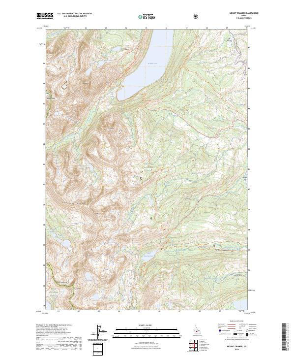
2024 Mount Cramer
Custer County, ID
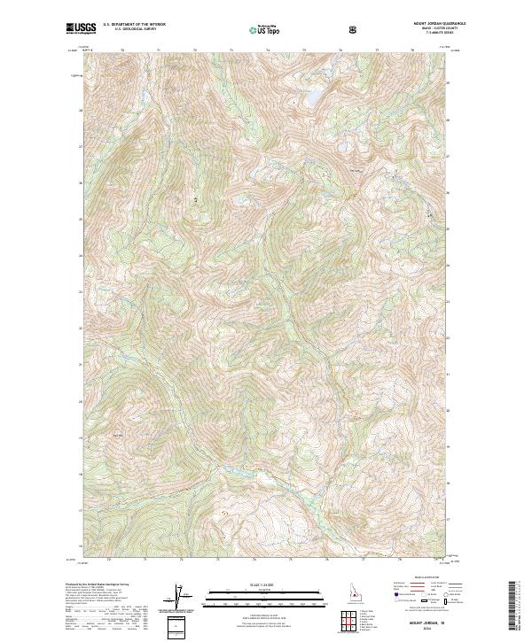
2024 Mount Jordan
Custer County, ID
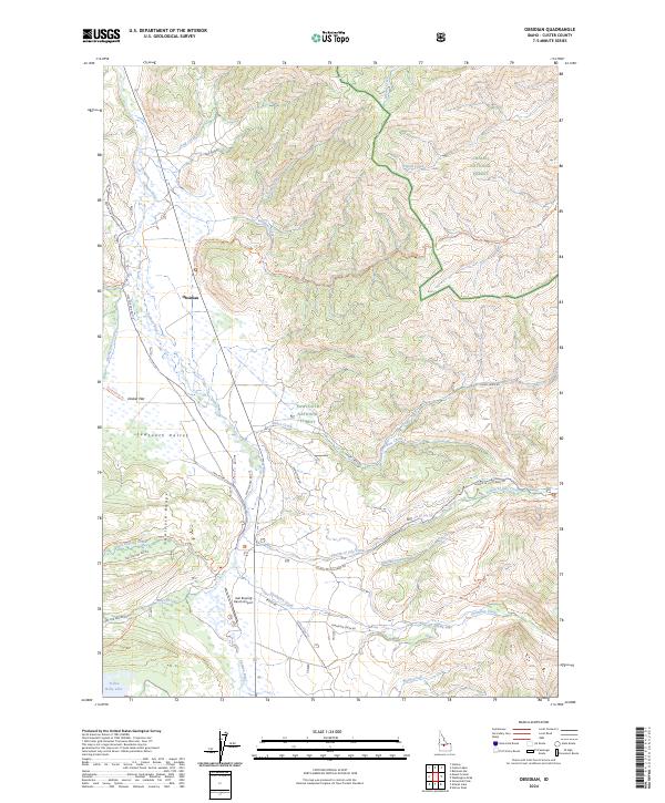
2024 Obsidian
Custer County, ID

2024 Pats Creek
Custer County, ID
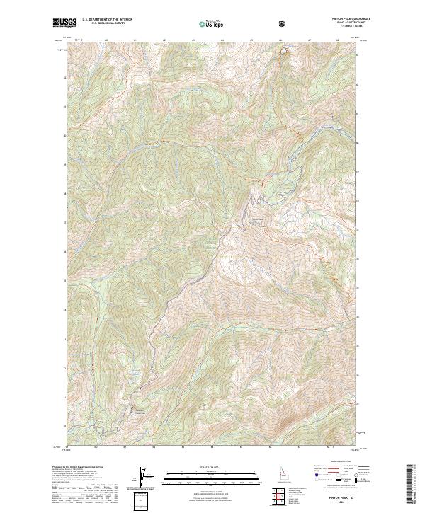
2024 Pinyon Peak
Custer County, ID
2024 Potaman Peak
Custer County, ID
2024 Robinson Bar
Custer County, ID
2024 Ryan Peak
Custer County, ID
2024 Sherman Peak
Custer County, ID
2024 Sliderock Ridge
Custer County, ID
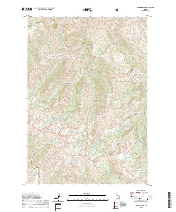
2024 Soldier Creek
Custer County, ID
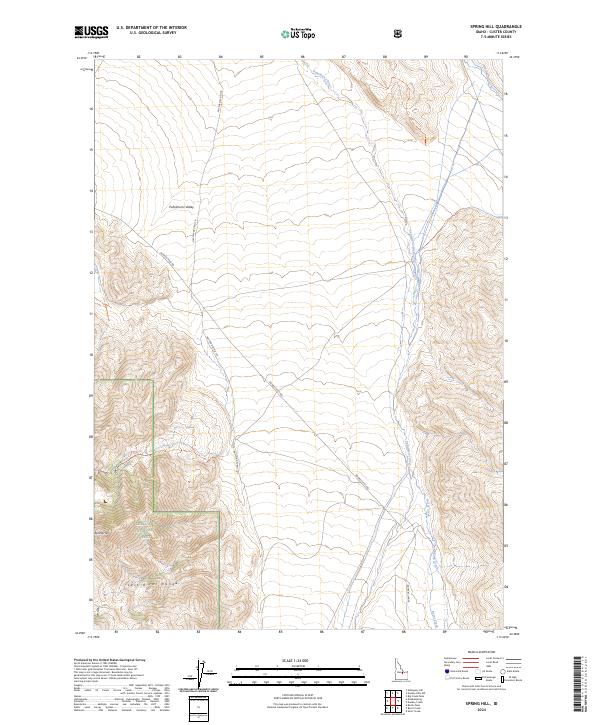
2024 Spring Hill
Custer County, ID
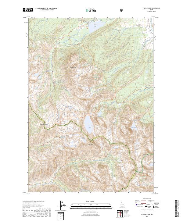
2024 Stanley Lake
Custer County, ID
2024 Sunbeam
Custer County, ID
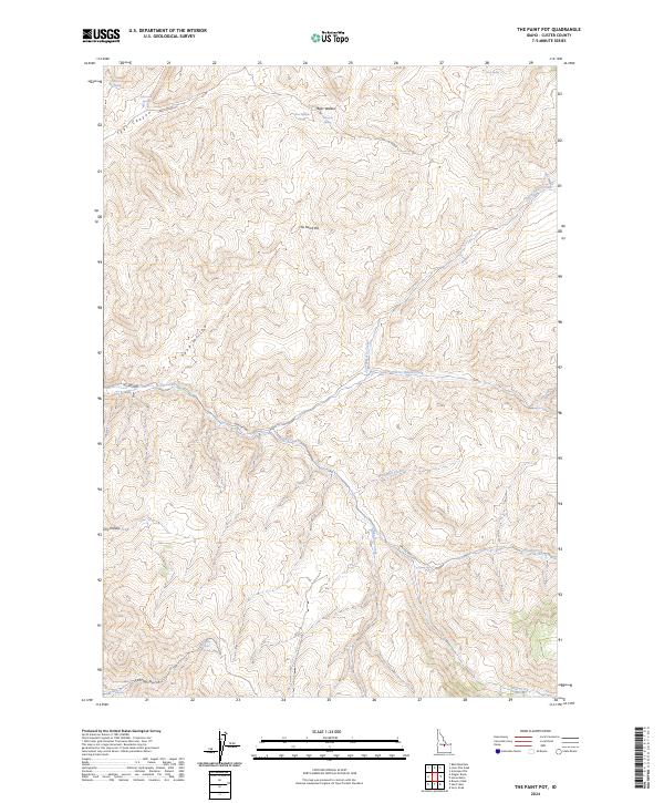
2024 The Paint Pot
Custer County, ID
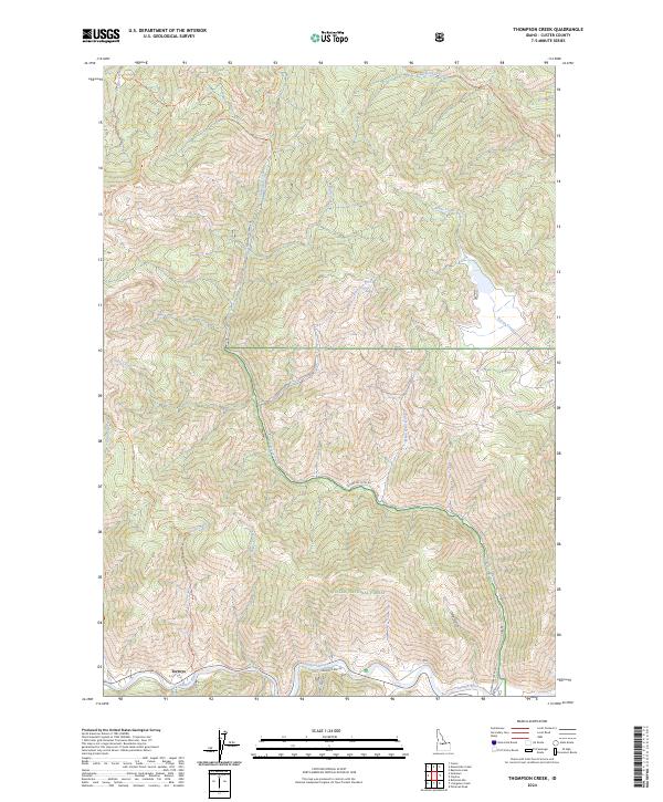
2024 Thompson Creek
Custer County, ID
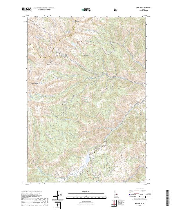
2024 Twin Peaks
Custer County, ID
2024 Washington Peak
Custer County, ID
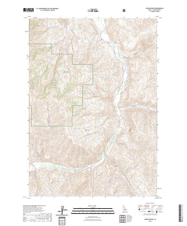
2024 Ziegler Basin
Custer County, ID