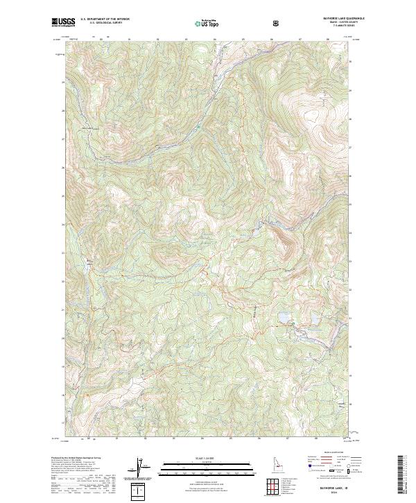
2024 Map of Bayhorse Lake
USGS Topo · Published 2024About this map
Challis National Forest dominates this high-elevation landscape in Custer County, where the terrain rises toward Mill Creek Summit in the northwest. The drainage patterns on this map define the local geography, with Mill Creek and Park Creek flowing through the northern tiers, while Trail Creek and its many tributaries, such as Trealor Creek and Lavine Creek, carve through the southern sections. A network of primitive roads and trails, including the Mill Creek Rd and the Bayhorse Creek Rd, provides the primary access to this backcountry.
Find a feature on this map
48 named features on this map. Tap any name to fly to it.
Don’t see what you’re looking for? This feature index may not catch every label — zoom into the map to look around manually.
Map Details
Editions of this 2024 Bayhorse Lake Map
This is the sole edition of this map. No revisions or reprints were ever made.
Other maps of this area

1919 · Custer
USGS Topo · 1:125,000

1922 · Custer
USGS Topo · 1:125,000

1929 · Bayhorse
USGS Topo · 1:125,000

1930 · Casto
USGS Topo · 1:125,000

1956 · Twin Peaks
USGS Topo · 1:62,500

1957 · Challis
USGS Topo · 1:250,000

1960 · Challis
USGS Topo · 1:250,000

1963 · Challis
USGS Topo · 1:250,000

1963 · Challis Creek Lakes
USGS Topo · 1:24,000

1963 · Bald Mountain
USGS Topo · 1:24,000