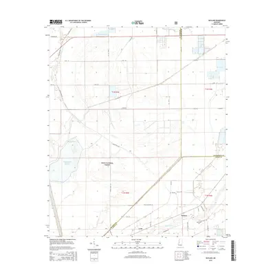
2015 Map of Bayland
USGS Topo · Published 2015About this map
The Delta National Forest dominates this section of the Mississippi Delta, showcasing a landscape defined by intricate waterways and specialized timber management. The southwestern portion of the sheet features the Dowling Bayou Greentree Reservoir, a facility designed for seasonal flooding of bottomland hardwoods to support migratory waterfowl. This managed ecosystem is surrounded by a network of drainage features, including Big Widow Bayou and Silver Creek, which reflect the complex hydrology of the Yazoo Basin.
Find a feature on this map
40 named features on this map. Tap any name to fly to it.
Don’t see what you’re looking for? This feature index may not catch every label — zoom into the map to look around manually.
Map Details
Editions of this 2015 Bayland Map
This is the sole edition of this map. No revisions or reprints were ever made.
Other maps of this area

1939 · Lorenzen
USGS Topo · 1:62,500

1939 · Swan Lake
USGS Topo · 1:62,500

1940 · Auter
USGS Topo · 1:62,500

1953 · Greenwood
USGS Topo · 1:250,000

1955 · Jackson
USGS Topo · 1:250,000

1956 · Greenwood
USGS Topo · 1:250,000

1961 · Jackson
USGS Topo · 1:250,000

1961 · Bayland
USGS Topo · 1:62,500

1962 · Jackson
USGS Topo · 1:250,000

1964 · Lorenzen
USGS Topo · 1:62,500