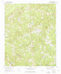
1967 Map of Bayleaf
USGS Topo · Published 1976About this map
The Neuse River winds through the northeastern corner of this landscape, crossed by the Penny-Hester Bridge at a time before major suburban expansion reshaped the Raleigh-Durham corridor. Central to the map is a dense network of local congregations that formed the social backbone of the rural community, including Mt Bethel Ch, Wake Minster Ch, and Soapstone Ch. These rural hubs are connected by winding roads that pass by family landmarks like Perry Pond and the rise of Adam Mtn. To the south, the early boundaries of William B Umstead State Park appear near Leesville, while the burgeoning settlement at Six Forks and the presence of the Wildwood Country Club signal the area's transition towards modern residential development. Revisions from the early 1970s illustrate subtle changes in the terrain around Upper Barton Creek and Cedar Creek.
Find a feature on this map
30 named features on this map. Tap any name to fly to it.
Don’t see what you’re looking for? This feature index may not catch every label — zoom into the map to look around manually.
Map Details
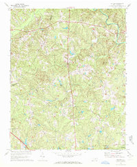
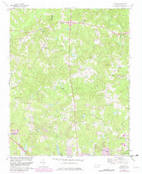
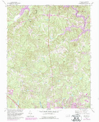
Editions of this 1967 Bayleaf Map
4 editions found
Other maps of this area

1943 · Durham South
USGS Topo · 1:62,500

1943 · Raleigh
USGS Topo · 1:62,500

1943 · Creedmoor
USGS Topo · 1:62,500

1944 · Creedmoor
USGS Topo · 1:62,500

1951 · Raleigh
USGS Topo · 1:62,500

1951 · Durham South
USGS Topo · 1:62,500

1951 · Durham North
USGS Topo · 1:62,500

1953 · Raleigh
USGS Topo · 1:250,000

1953 · Greensboro
USGS Topo · 1:250,000

1954 · Greensboro
USGS Topo · 1:250,000