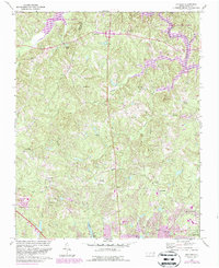
1967 Map of Bayleaf
USGS Topo · Published 1987About this map
Raleigh expands northward into the rolling timberlands of Wake County on this survey, which documents the landscape during a period of significant suburban transition. The northern reaches are dominated by Falls Lake State Park and the course of the Neuse River, while the southern portion of the sheet shows the encroaching street grids of the capital city. Rural life is still visible in the numerous country churches such as Wake Minister Ch, Union Grove Ch, and New Bethel Ch, which served established communities like Leesville and Six Forks before the area became more densely residential.
Find a feature on this map
37 named features on this map. Tap any name to fly to it.
Don’t see what you’re looking for? This feature index may not catch every label — zoom into the map to look around manually.
Map Details
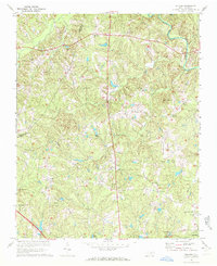
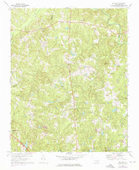
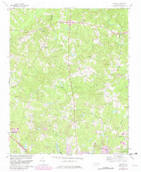
Editions of this 1967 Bayleaf Map
4 editions found
Other maps of this area

1943 · Durham South
USGS Topo · 1:62,500

1943 · Raleigh
USGS Topo · 1:62,500

1943 · Creedmoor
USGS Topo · 1:62,500

1944 · Creedmoor
USGS Topo · 1:62,500

1951 · Raleigh
USGS Topo · 1:62,500

1951 · Durham South
USGS Topo · 1:62,500

1951 · Durham North
USGS Topo · 1:62,500

1953 · Raleigh
USGS Topo · 1:250,000

1953 · Greensboro
USGS Topo · 1:250,000

1954 · Greensboro
USGS Topo · 1:250,000