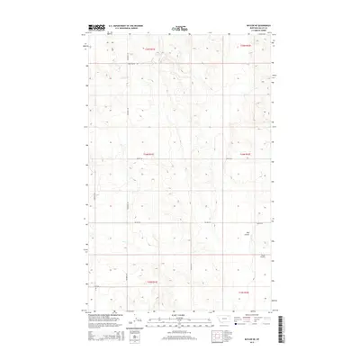
2014 Map of Baylor NE
USGS Topo · Published 2014About this map
The high plains of Valley County are defined here by a series of drainages and coulees, notably Snow Coulee and Bog Coulee, which carve through the open landscape of northern Montana. This 2014 survey reveals a sparse network of county roads that speak to the region's agricultural and rural character, with Wildrose Rd and Dohlen Rd serving as the primary connectors between section lines. Water resources are focused around the winding path of Bog Cr in the southwestern portion of the quadrangle. The naming of local infrastructure, such as Cemetery Rd S and Alden Rd, reflects the long-standing family and community ties that have persisted in this part of the Frazer District. The map provides a precise look at the township and range divisions, documenting the spatial organization of these northern plains just before the mid-2010s.
Find a feature on this map
17 named features on this map. Tap any name to fly to it.
Don’t see what you’re looking for? This feature index may not catch every label — zoom into the map to look around manually.
Map Details
Editions of this 2014 Baylor NE Map
This is the sole edition of this map. No revisions or reprints were ever made.
Other maps of this area

1954 · Glasgow
USGS Topo · 1:250,000

1957 · Glasgow
USGS Topo · 1:250,000

1958 · Glasgow
USGS Topo · 1:250,000

1973 · Baylor SE
USGS Topo · 1:24,000

1973 · Larslan
USGS Topo · 1:24,000

1973 · Glentana West
USGS Topo · 1:24,000

1973 · Larslan NW
USGS Topo · 1:24,000

1973 · Baylor NE
USGS Topo · 1:24,000

1973 · Baylor
USGS Topo · 1:24,000

1973 · Opheim
USGS Topo · 1:24,000