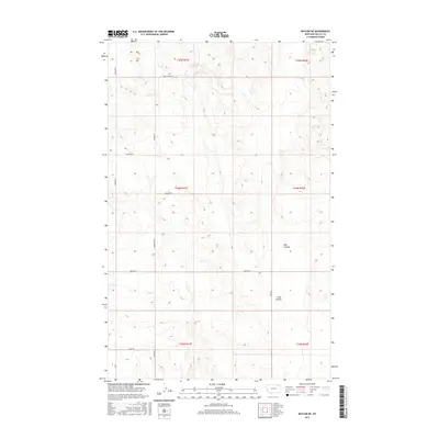
2017 Map of Baylor NE
USGS Topo · Published 2017About this map
Bog Cr and the seasonal drainages of Bog Coulee and Snow Coulee define this portion of Valley County, where the landscape is organized by a precise grid of rural section roads. This 2017 survey shows how the high plains are segmented for agriculture and ranching, with routes like Baylor Rd and Sather Rd providing the primary access through the townships. The naming of local infrastructure often reflects family or early settler history, seen in thoroughfares such as Alden Rd, Dohlen Rd, and Snow Coulee Rd. A notable point of local interest is the north-south route identified as Cemetary S, which runs along the western edge of the quadrangle. These features, combined with the presence of Wildrose Rd, reveal a quiet, low-density settlement pattern that has persisted in northeastern Montana for generations.
Find a feature on this map
19 named features on this map. Tap any name to fly to it.
Don’t see what you’re looking for? This feature index may not catch every label — zoom into the map to look around manually.
Map Details
Editions of this 2017 Baylor NE Map
This is the sole edition of this map. No revisions or reprints were ever made.
Other maps of this area

1954 · Glasgow
USGS Topo · 1:250,000

1957 · Glasgow
USGS Topo · 1:250,000

1958 · Glasgow
USGS Topo · 1:250,000

1973 · Baylor SE
USGS Topo · 1:24,000

1973 · Larslan
USGS Topo · 1:24,000

1973 · Glentana West
USGS Topo · 1:24,000

1973 · Larslan NW
USGS Topo · 1:24,000

1973 · Baylor NE
USGS Topo · 1:24,000

1973 · Baylor
USGS Topo · 1:24,000

1973 · Opheim
USGS Topo · 1:24,000