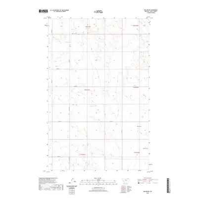
2020 Map of Baylor NE
USGS Topo · Published 2020About this map
Bog Coulee and Bog Cr wind through this section of the Frazer District in Valley County, Montana, defining a landscape shaped by intermittent drainage and open range. The township and range lines of the Public Land Survey System organize the territory into a strict grid, reflected in the network of local roads that follow section boundaries. These corridors, including Sather Rd, Baylor Rd, and Alden Rd, provide access to the remote homesteads and agricultural tracts of this high plains region. Genealogy researchers may find particular interest in the labeling of Cemetary S along the western edge, while landmarks like Snow Coulee Rd and Dohlen Rd point to the family names and natural features that have long anchored this rural community.
Find a feature on this map
18 named features on this map. Tap any name to fly to it.
Don’t see what you’re looking for? This feature index may not catch every label — zoom into the map to look around manually.
Map Details
Editions of this 2020 Baylor NE Map
This is the sole edition of this map. No revisions or reprints were ever made.
Other maps of this area

1954 · Glasgow
USGS Topo · 1:250,000

1957 · Glasgow
USGS Topo · 1:250,000

1958 · Glasgow
USGS Topo · 1:250,000

1973 · Baylor SE
USGS Topo · 1:24,000

1973 · Larslan
USGS Topo · 1:24,000

1973 · Glentana West
USGS Topo · 1:24,000

1973 · Larslan NW
USGS Topo · 1:24,000

1973 · Baylor NE
USGS Topo · 1:24,000

1973 · Baylor
USGS Topo · 1:24,000

1973 · Opheim
USGS Topo · 1:24,000