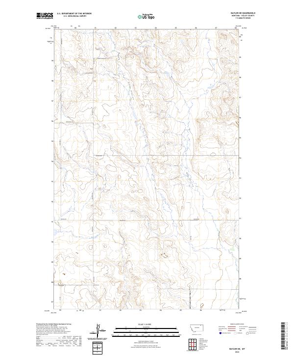
2024 Map of Baylor NE
USGS Topo · Published 2024About this map
Snow Coulee and Bog Coulee carve through this section of Valley County, defining a landscape shaped by intermittent watercourses in the northern Montana plains. The drainage of Bog Creek is the primary hydrologic feature in the southern portion of the quadrangle, where the terrain transitions toward the Missouri River watershed. This area is characterized by a sparse network of section-line roads and named routes that often reflect the heritage of local ranching and homesteading families.
Find a feature on this map
19 named features on this map. Tap any name to fly to it.
Don’t see what you’re looking for? This feature index may not catch every label — zoom into the map to look around manually.
Map Details
Editions of this 2024 Baylor NE Map
This is the sole edition of this map. No revisions or reprints were ever made.
Other maps of this area

1954 · Glasgow
USGS Topo · 1:250,000

1957 · Glasgow
USGS Topo · 1:250,000

1958 · Glasgow
USGS Topo · 1:250,000

1973 · Baylor SE
USGS Topo · 1:24,000

1973 · Larslan
USGS Topo · 1:24,000

1973 · Glentana West
USGS Topo · 1:24,000

1973 · Larslan NW
USGS Topo · 1:24,000

1973 · Baylor NE
USGS Topo · 1:24,000

1973 · Baylor
USGS Topo · 1:24,000

1973 · Opheim
USGS Topo · 1:24,000