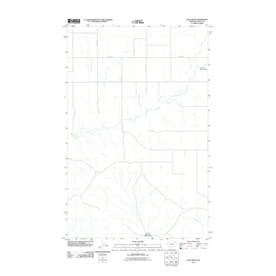
2011 Map of Baylor SE
USGS Topo · Published 2011About this map
Fort Peck Reservation Number 1 Dam and the drainage of East Fork Snow Coulee define this corner of Valley County. This 2011 survey by the U.S. Geological Survey shows a sparsely populated ranching landscape where development is limited to a handful of gravel routes. Rural roads such as Fuhrman Rd, Nybakken Rd, and Sather Rd create a strict orthogonal grid across the landscape, illustrating the enduring influence of the Public Land Survey System on Montana's geography. The map provides a clear view of the complex coulee systems and water management infrastructure essential to this semi-arid region of the Frazer District.
Find a feature on this map
7 named features on this map. Tap any name to fly to it.
Don’t see what you’re looking for? This feature index may not catch every label — zoom into the map to look around manually.
Map Details
Editions of this 2011 Baylor SE Map
This is the sole edition of this map. No revisions or reprints were ever made.
Other maps of this area

1915 · Spring Creek
USGS Topo · 1:62,500

1918 · Porcupine Valley
USGS Topo · 1:62,500

1954 · Glasgow
USGS Topo · 1:250,000

1957 · Glasgow
USGS Topo · 1:250,000

1958 · Glasgow
USGS Topo · 1:250,000

1973 · Baylor SE
USGS Topo · 1:24,000

1973 · Larslan
USGS Topo · 1:24,000

1973 · Larslan NW
USGS Topo · 1:24,000

1973 · Baylor NE
USGS Topo · 1:24,000

1973 · Baylor
USGS Topo · 1:24,000