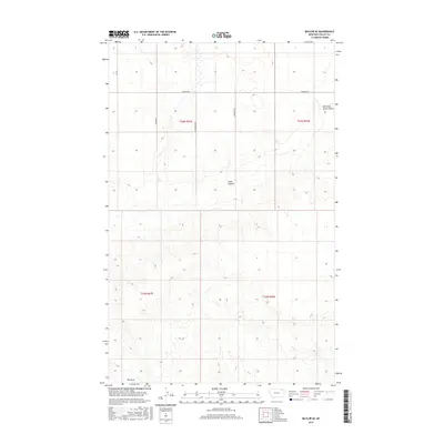
2017 Map of Baylor SE
USGS Topo · Published 2017About this map
Snow Coulee cuts across this northern Montana landscape in the Frazer District of Valley County, defining the drainage patterns of an area dominated by open range and section-line roads. The topography transitions from the broad, high elevations in the north toward the distinct geological feature known as The Pass at the southern boundary. This 2017 survey documents the rural infrastructure of the region, where gravel routes like Fuhrman Rd and Sather Rd provide access to remote acreage. Seasonal watercourses, including the East Fork Snow Coulee, are meticulously mapped alongside newer infrastructure like Ny Bakken Rd, reflecting the continued importance of land access in this sparsely populated portion of the state.
Find a feature on this map
12 named features on this map. Tap any name to fly to it.
Don’t see what you’re looking for? This feature index may not catch every label — zoom into the map to look around manually.
Map Details
Editions of this 2017 Baylor SE Map
This is the sole edition of this map. No revisions or reprints were ever made.
Other maps of this area

1915 · Spring Creek
USGS Topo · 1:62,500

1918 · Porcupine Valley
USGS Topo · 1:62,500

1954 · Glasgow
USGS Topo · 1:250,000

1957 · Glasgow
USGS Topo · 1:250,000

1958 · Glasgow
USGS Topo · 1:250,000

1973 · Baylor SE
USGS Topo · 1:24,000

1973 · Larslan
USGS Topo · 1:24,000

1973 · Larslan NW
USGS Topo · 1:24,000

1973 · Baylor NE
USGS Topo · 1:24,000

1973 · Baylor
USGS Topo · 1:24,000