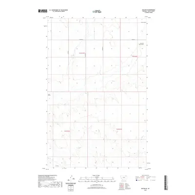
2020 Map of Baylor SE
USGS Topo · Published 2020About this map
The rolling plains of Valley County are defined by a network of drainage features and early transit routes in this contemporary survey of the Frazer District. Snow Coulee and its East Fork carve deep paths through the northern sections, illustrating the natural water management of the high prairie. The landscape is marked by the grid-based logic of the Public Land Survey System, with township boundaries like t33n r41e and t32n r41e organizing the territory. Local history is etched into the terrain through family-named thoroughfares such as Fuhrman Rd, Nybakken Rd, and Sather Rd, reflecting the generational footprint of ranching and homesteading. At the southern edge, a natural topographic transition known as The Pass provides a focal point for understanding historical movement through the region's undulating elevation.
Find a feature on this map
11 named features on this map. Tap any name to fly to it.
Don’t see what you’re looking for? This feature index may not catch every label — zoom into the map to look around manually.
Map Details
Editions of this 2020 Baylor SE Map
This is the sole edition of this map. No revisions or reprints were ever made.
Other maps of this area

1915 · Spring Creek
USGS Topo · 1:62,500

1918 · Porcupine Valley
USGS Topo · 1:62,500

1954 · Glasgow
USGS Topo · 1:250,000

1957 · Glasgow
USGS Topo · 1:250,000

1958 · Glasgow
USGS Topo · 1:250,000

1973 · Baylor SE
USGS Topo · 1:24,000

1973 · Larslan
USGS Topo · 1:24,000

1973 · Larslan NW
USGS Topo · 1:24,000

1973 · Baylor NE
USGS Topo · 1:24,000

1973 · Baylor
USGS Topo · 1:24,000