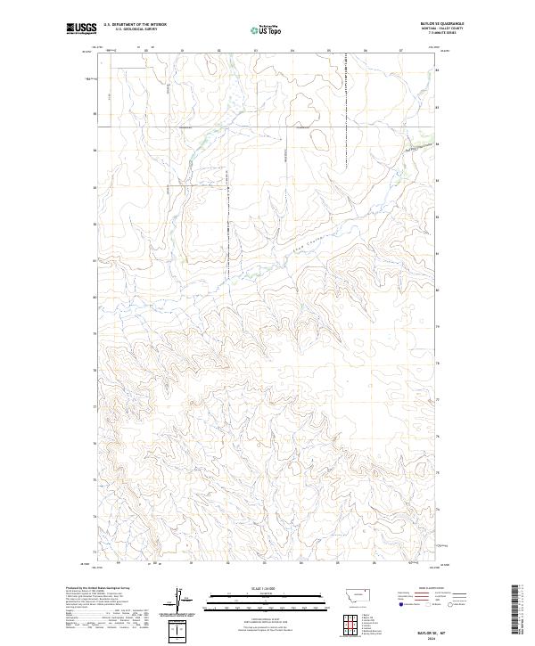
2024 Map of Baylor SE
USGS Topo · Published 2024About this map
Snow Coulee and its tributary, East Fork Snow Coulee, define the drainage patterns of this Valley County landscape. The area is structured by the Public Land Survey System, with boundaries such as t33n r41e and t32n r42e carving the terrain into a regular grid of sections. A network of rural routes, including Sather Rd, Fuhrman Rd, and Nybakken Rd, provides access across the expansive plains and coulees. This contemporary map captures the persistence of these family-named roads and drainage features, which remain central to the geography of northeastern Montana. The absence of concentrated settlements emphasizes the open, agricultural character of the region, where the primary landmarks are the winding coulees and the straight lines of the township and range system.
Find a feature on this map
10 named features on this map. Tap any name to fly to it.
Don’t see what you’re looking for? This feature index may not catch every label — zoom into the map to look around manually.
Map Details
Editions of this 2024 Baylor SE Map
This is the sole edition of this map. No revisions or reprints were ever made.
Other maps of this area

1915 · Spring Creek
USGS Topo · 1:62,500

1918 · Porcupine Valley
USGS Topo · 1:62,500

1954 · Glasgow
USGS Topo · 1:250,000

1957 · Glasgow
USGS Topo · 1:250,000

1958 · Glasgow
USGS Topo · 1:250,000

1973 · Baylor SE
USGS Topo · 1:24,000

1973 · Larslan
USGS Topo · 1:24,000

1973 · Larslan NW
USGS Topo · 1:24,000

1973 · Baylor NE
USGS Topo · 1:24,000

1973 · Baylor
USGS Topo · 1:24,000