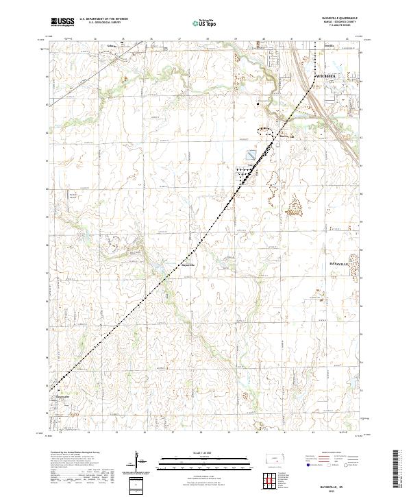
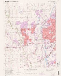
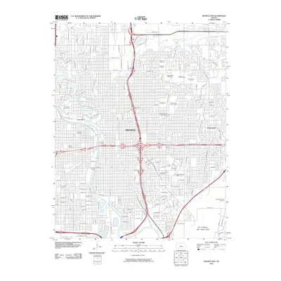
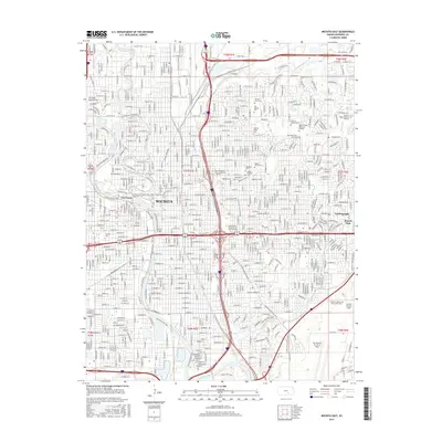
2022 Map of Bayneville
USGS Topo · Published 2022About this map
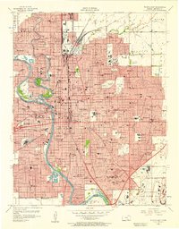
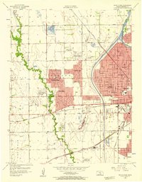
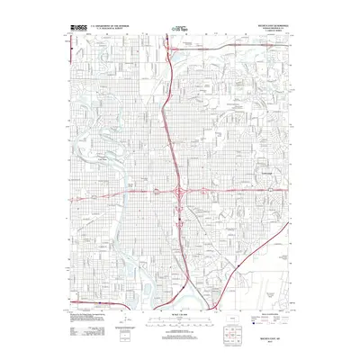
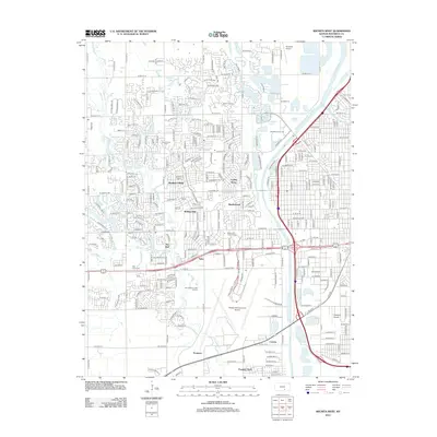
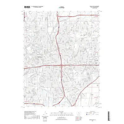
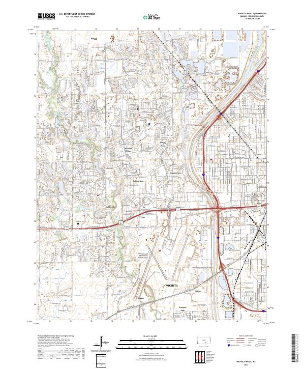
The unincorporated community of Bayneville sits at the center of this landscape, surrounded by the agricultural expansion and suburban growth of southern Sedgwick County. The survey traces the winding course of Cowskin Creek as it moves toward the southwest, alongside the smaller Dry Cr and Spring Cr. Evidence of the area's early rural social structure remains in sites like Saint Peters Cem and Greenwood Cem, which serve as vital markers for local family historians. On the northern edge, the transition into the Wichita metropolitan area is evident through the suburban layout of Oatville and Schulte. The map also captures specialized land use, from the Rucker Airport landing strip to the industrial footprint of Murray Gill, illustrating how the Kansas prairie has been reshaped by twentieth-century transit and utility needs.
Find a feature on this map
42 named features on this map. Tap any name to fly to it.
Don’t see what you’re looking for? This feature index may not catch every label — zoom into the map to look around manually.
Map Details
Editions of this 2022 Bayneville Map
This is the sole edition of this map. No revisions or reprints were ever made.
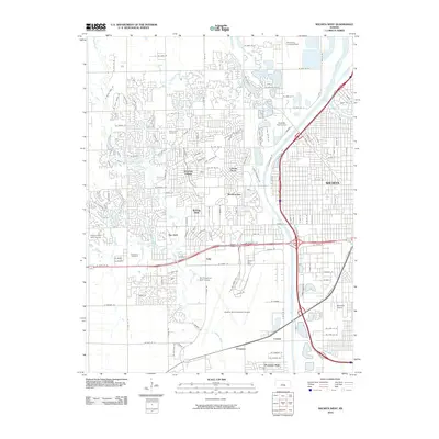
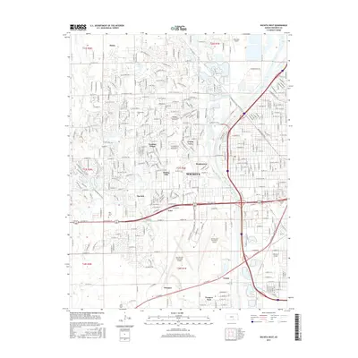
Historical Maps of Wichita Through Time
30 maps found
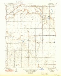
1943 Bayneville
Sedgwick County, KS

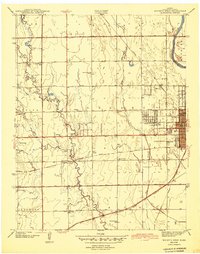
1943 Wichita East
Sedgwick County, KS
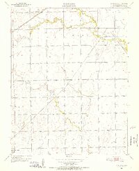
1943 Wichita West
Sedgwick County, KS
1950 Bayneville
Sedgwick County, KS
1956 Wichita East
Sedgwick County, KS
1956 Wichita West
Sedgwick County, KS
1961 Bayneville
Sedgwick County, KS
1961 Wichita East
Sedgwick County, KS
1961 Wichita West
Sedgwick County, KS
1965 Lake Afton
Sedgwick County, KS
2009 Bayneville
Sedgwick County, KS
2009 Lake Afton
Sedgwick County, KS
2010 Wichita East
Sedgwick County, KS
2010 Wichita West
Sedgwick County, KS
2012 Bayneville
Sedgwick County, KS
2012 Lake Afton
Sedgwick County, KS
2012 Wichita East
Sedgwick County, KS
2012 Wichita West
Sedgwick County, KS
2015 Bayneville
Sedgwick County, KS
2015 Lake Afton
Sedgwick County, KS
2015 Wichita East
Sedgwick County, KS
2015 Wichita West
Sedgwick County, KS
2018 Bayneville
Sedgwick County, KS
2018 Lake Afton
Sedgwick County, KS
2018 Wichita East
Sedgwick County, KS
2018 Wichita West
Sedgwick County, KS
2022 Bayneville
Sedgwick County, KS
2022 Lake Afton
Sedgwick County, KS
2022 Wichita East
Sedgwick County, KS
2023 Wichita West
Sedgwick County, KS