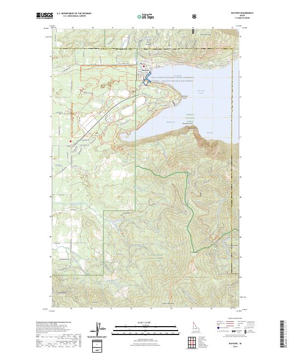
2024 Map of Bayview
USGS Topo · Published 2024About this map
Bayview serves as the primary settlement on this portion of the northern Idaho panhandle, situated at the southern tip of Lake Pend Oreille. This location is notably home to the Naval Surface Warfare Center Carderock Division-Acoustic Research Detachment, a specialized facility utilizing the deep waters of Scenic Bay for naval testing. The transition from the developed lakeshore to the high elevations of the Coeur d'Alene National Forest and Kaniksu National Forest is immediate, with peaks like Cape Horn Peak and Chilco Mtn dominating the skyline.
Find a feature on this map
101 named features on this map. Tap any name to fly to it.
Don’t see what you’re looking for? This feature index may not catch every label — zoom into the map to look around manually.
Map Details
Editions of this 2024 Bayview Map
This is the sole edition of this map. No revisions or reprints were ever made.
Other maps of this area

1901 · Sandpoint
USGS Topo · 1:125,000

1903 · Rathdrum
USGS Topo · 1:125,000

1909 · Cataldo
USGS Topo · 1:125,000

1911 · Cataldo
USGS Topo · 1:125,000

1911 · Priest Lake
USGS Topo · 1:250,000

1911 · Sandpoint
USGS Topo · 1:125,000

1913 · Priest Lake
USGS Topo · 1:250,000

1949 · Packsaddle Mtn
USGS Topo · 1:62,500

1951 · Packsaddle Mtn
USGS Topo · 1:62,500

1955 · Spokane
USGS Topo · 1:250,000