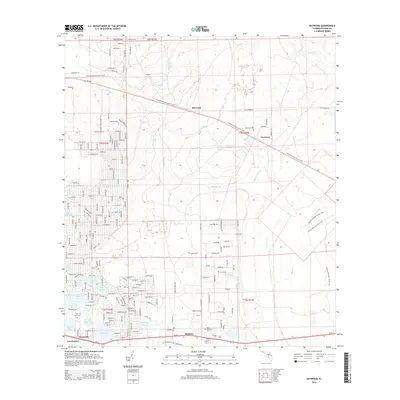
2015 Map of Baywood
USGS Topo · Published 2015About this map
Interlachen and the nearby settlements of Hollister and Mannville anchor the southern portion of this landscape, characterized by a dense concentration of water bodies. The terrain is defined by a distinct cluster of named lakes, including Lake Grandin, Violet Lake, Lake Virginia, and Boll Green Lake, which have long shaped the residential and recreational patterns of this part of Putnam County. Moving north, the map shows the crossing of the Florida National Scenic Trail, which traverses through Baywood and near Carraway. Local history and genealogy are supported by several identified burial sites such as Mei-Wun Cem, Naomi Cem, and Mary Elizabeth Cem. Small waterways like Etonia Cr, Oldtown Branch, and Rice Creek drain the area, while the legacy of early transportation remains visible through corridors like Old Starke RD and the Old Gainesville HWY Hunter RD.
Find a feature on this map
37 named features on this map. Tap any name to fly to it.
Don’t see what you’re looking for? This feature index may not catch every label — zoom into the map to look around manually.
Map Details
Editions of this 2015 Baywood Map
This is the sole edition of this map. No revisions or reprints were ever made.
Other maps of this area

1912 · Palatka
USGS Topo · 1:48,000

1915 · Palatka
USGS Topo · 1:62,500

1915 · Interlachen
USGS Topo · 1:48,000

1916 · Interlachen
USGS Topo · 1:62,500

1942 · Ates Creek
USGS Topo · 1:62,500

1944 · Interlachen
USGS Topo · 1:62,500

1947 · Bostwick
USGS Topo · 1:50,000

1949 · Rice Creek
USGS Topo · 1:24,000

1949 · Bostwick
USGS Topo · 1:24,000

1949 · Keuka
USGS Topo · 1:24,000